Where to Hike in Forest Park: Short Walks, City Views, and Quieter Trails
Forest Park is easier to explore when you choose an access point first. Start with a short walk to a landmark, a route with city views, a gravel out-and-back, or a quieter trail in the park’s north end.
Research-based guide · Official information checked August 27, 2026 · Based on official sources rather than firsthand trail testing
TRAIL UPDATE — The Ridge Trail parking area on NW Bridge Avenue is closed indefinitely. A bridge on Wildwood Trail at mile 15.2 is also closed, with a stepped detour in place. Check Portland Parks’ current closure page before you go.
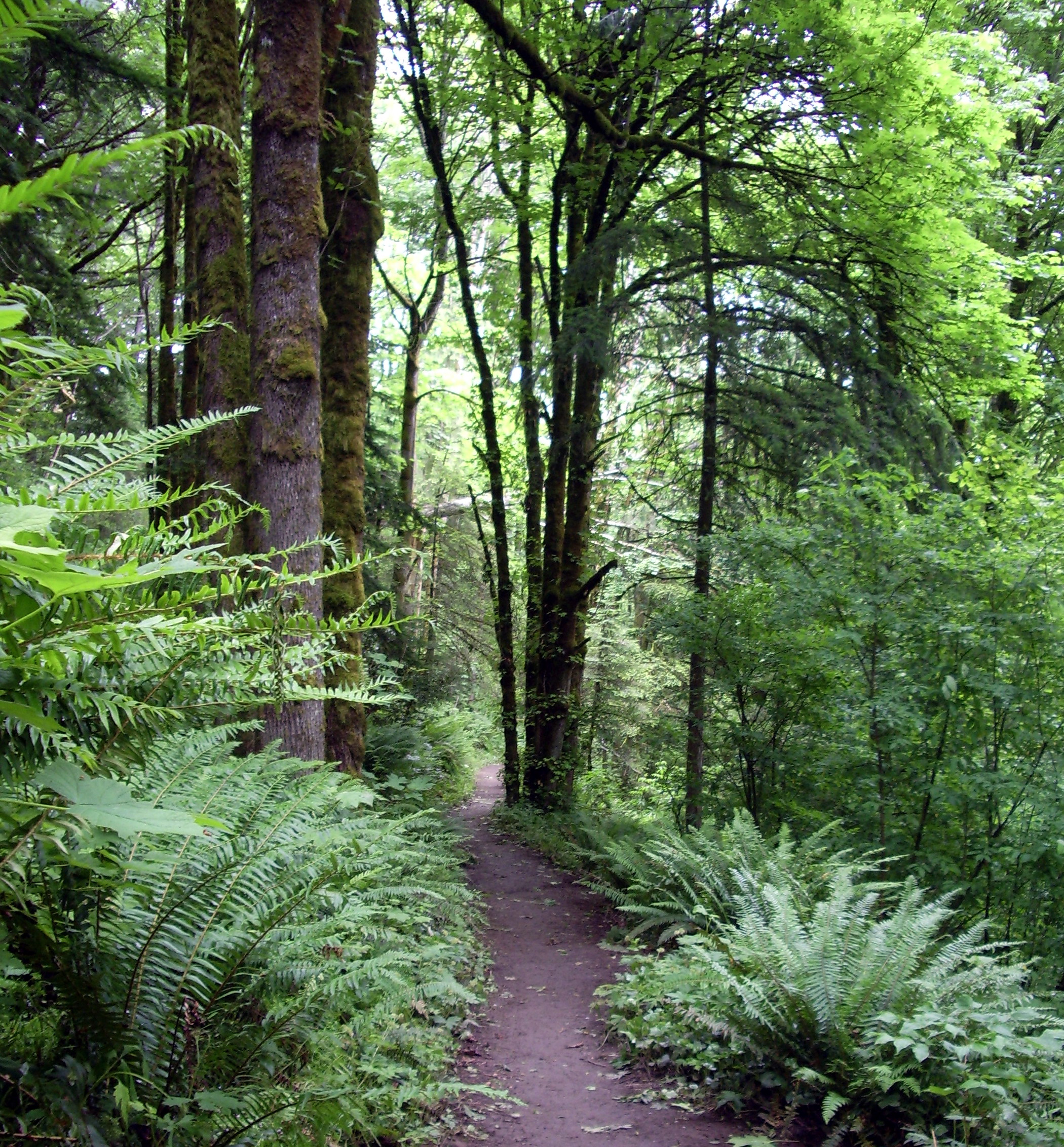
Wildwood Trail runs the length of Forest Park, but most visitors follow only a shorter section. Photo: EncMstr · CC BY-SA 3.0 · source · license
Start with the right Forest Park access point
Forest Park covers about 5,200 acres and contains more than 80 miles of trails and roads. Wildwood Trail runs for roughly 30 miles, but most visitors follow it as part of a shorter loop or out-and-back. With more than 40 access points, choosing where to begin is just as important as deciding how far you want to walk.
The routes below offer four different experiences: a classic first visit, a walk with city views, a straightforward gravel out-and-back, and a quieter outing in northern Forest Park. Distances vary with the connectors you choose, so use the official trail map and include every access trail when estimating your total mileage.
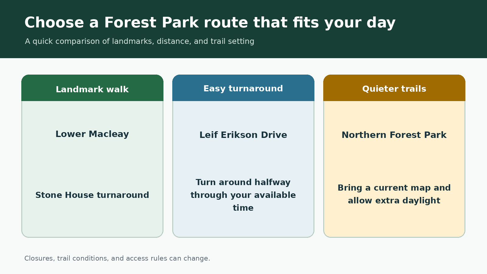
Quick route comparison created for this guide; not an official map or GPS route.
At a glance
|
Route |
Best for |
Trail surface and effort |
What to know |
|
Lower Macleay to Stone House |
Short walk to a well-known landmark |
Unpaved canyon trail |
Popular trailhead; expect mud and crowds |
|
Wildwood toward Pittock Mansion |
Forest walk with city views |
Longer walk with several junctions |
Confirm the exact start and return route |
|
Leif Erikson Drive |
Straightforward out-and-back |
Wide gravel road; shared use |
Turn around halfway through your available time |
|
Northern Forest Park |
Quieter, more remote feel |
Longer connecting trails and fewer landmarks |
Carry a current map and verify closures |
Distances vary with your starting point and connecting trails. Check the current Forest Park map before you go.
Lower Macleay and the Stone House: a classic first hike
The Lower Macleay corridor follows Balch Creek into the forest and reaches the moss-covered ruins commonly called the Stone House or Witch’s Castle. The landmark is easy to reach without committing to an all-day hike, although the trail can still be muddy, slick, and busy after rain.
Turn around at the ruins for a shorter walk, or continue on Wildwood Trail only if you have time and a clear return plan. The landmark is not a staffed visitor facility, and its stone surfaces are often damp. Keep dogs leashed and leave room for two-way trail traffic.
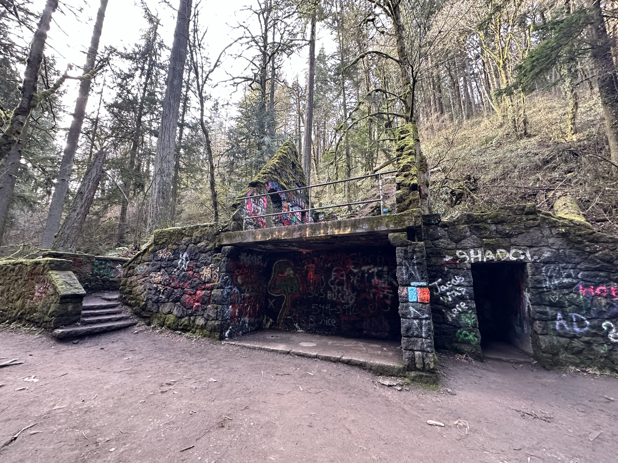
The Stone House makes a natural turnaround for a shorter hike from Lower Macleay. Photo: Slinkyo · CC0 1.0 · source · license
A Forest Park hike with views from Pittock Mansion
A Wildwood Trail walk toward Pittock Mansion combines shaded forest with a broad view over Portland. The exact mileage depends on your starting point and whether you arrange a one-way hike or return to the same trailhead. Expect a climb and, depending on the route, some walking on city streets.
Pittock Mansion has its own hours and parking rules, while Portland Parks manages the Forest Park trails. Parking at the mansion does not work for every route. If your hike crosses a road, use the current map to confirm where pedestrians can cross safely and legally.
Leif Erikson Drive: an easy out-and-back to customize
Leif Erikson Drive is a wide gravel road that makes distance easier to manage than the park’s web of narrow trails. Walk out for half of your available time, then turn around. It feels less secluded than the park’s single-track trails, and you will share the road with cyclists and, on designated sections, horses.
Side trails create many loop options, but each connector adds climbing and navigation. If you want a steady walk rather than a complex loop, staying on Leif Erikson Drive is usually the simpler choice. After storms, watch for downed branches and drainage damage even on the wide gravel road.
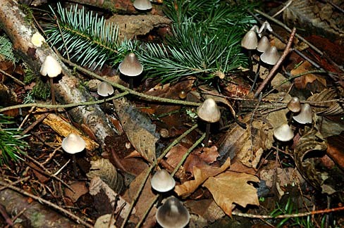
Wet leaves, exposed roots, and soft ground are common on Forest Park’s unpaved trails. Photo: Gary Halvorson, Oregon State Archives · Attribution · source
Quieter trails in northern Forest Park
Northern Forest Park generally feels farther from the city and has fewer landmark destinations. That is part of its appeal, but a wrong turn can take more time to correct. Use the official map, make note of your access road, and leave enough daylight for the return.
The Ridge Trail is often recommended for views of the St. Johns Bridge, but the parking area on NW Bridge Avenue is closed indefinitely because of falling rock and pedestrian safety concerns. Portland Parks advises arriving by bus, bicycle, or on foot, or parking on the east side of the bridge and walking across. Do not stop on the unsafe shoulder near the closed area.
Trail closures, mud, and seasonal access
Check the current closure page rather than relying on a saved route screenshot. As of August 27, 2026, the bridge on Wildwood Trail at mile 15.2 is closed, with a stepped detour available. The steps make this detour unsuitable for anyone who needs a smooth, predictable surface.
Rain can produce mud, standing water, fallen limbs, and small slides throughout the park. Stay off visibly closed trails and avoid widening the trail around puddles. The 2026 Forest and Washington Park Express shuttle ended its published season on August 22, so it is no longer an option for late-August trips.
Which Forest Park route is right for you?
Choose Lower Macleay for a recognizable landmark, a Pittock-area route for city views, Leif Erikson Drive for a straightforward out-and-back, or northern Forest Park for quieter trails and fewer landmarks. Before leaving, confirm your access point, any current closures, and the full round-trip distance.
Related hiking guides
Best Hikes Near Portland
Best Hikes Near Vancouver, Washington
Columbia River Gorge Hiking Guide
Official sources
Last checked August 27, 2026. Conditions can change, so review current park alerts before your trip.
Portland Parks & Recreation — Forest Park
Portland Parks & Recreation — Trail Closures and Delays
Portland Parks & Recreation — Forest Park documents and maps
Photo and graphic credits
Forest park wildwood trail in early summer P2860 — EncMstr; CC BY-SA 3.0. Source · License
Witch's Castle in Forest Park — Slinkyo; CC0 1.0. Source · License
Forest Floor (Multnomah County, Oregon scenic images) (mulD0020) — Gary Halvorson, Oregon State Archives; Attribution. Source
Route comparison graphic created for this guide; not an official map, GPS track, or elevation profile.