Horsetail Falls: Roadside View, Ponytail Falls Hike, and Current Trail Access
Horsetail Falls is visible from the Historic Columbia River Highway, while Ponytail Falls requires a short, steep hike. Longer loops depend on current trail conditions and should be checked before you go.
Research-based guide · Official information checked August 27, 2026 · Based on official sources rather than firsthand trail testing
TRAIL UPDATE — The roadside viewpoint, Trail #438 to Ponytail Falls, and the longer Oneonta/Gorge Trail connections may have different access conditions. This guide does not assume the historic 2.7-mile loop is open. Check current Forest Service alerts before you go.
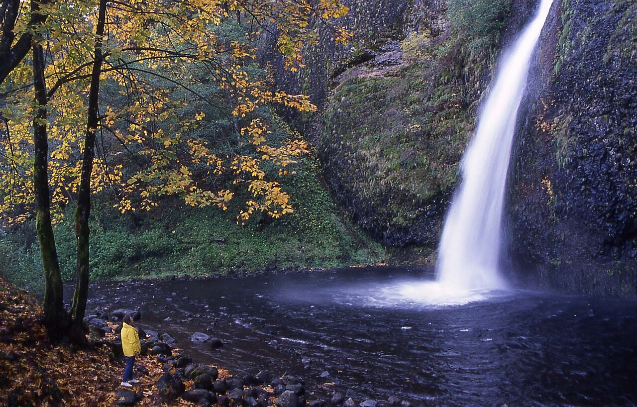
You can see the base of Horsetail Falls from the day-use area without hiking the upper trail. Photo: Forest Service Pacific Northwest Region · Public domain · source
Three ways to visit Horsetail Falls
Horsetail Falls drops beside the Historic Columbia River Highway, which means you can see the lower waterfall without hiking. That easy access can make it unclear whether a map or guide is referring to the roadside viewpoint, the short trail to Ponytail Falls, or the older loop shown on legacy maps.
Think of these as three separate outings. The base view is a quick stop. Ponytail Falls is a short but steep hike over wet ground. The longer route uses several connecting trails and should only be considered after current Forest Service maps and alerts show every segment open.
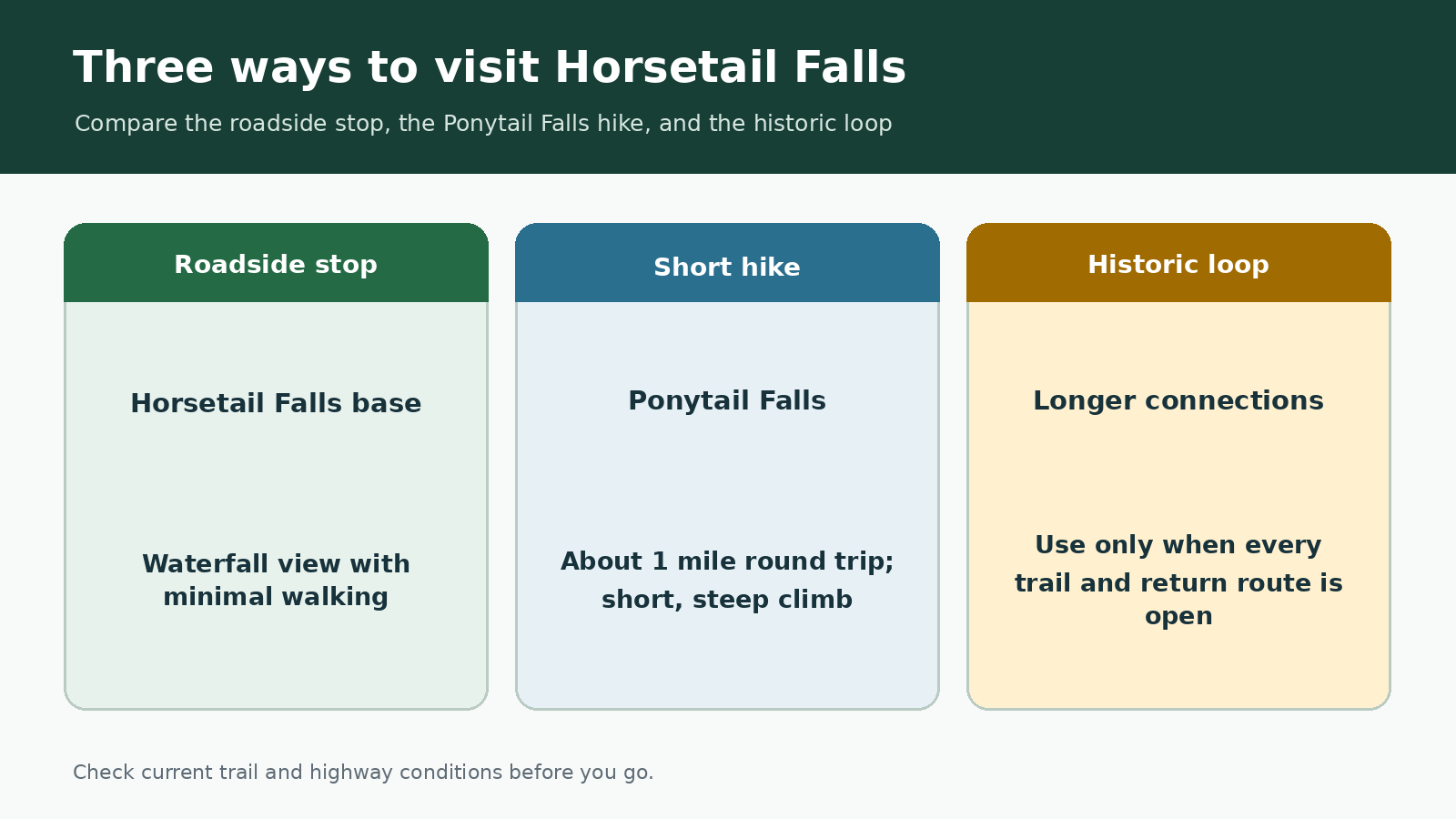
Quick comparison created for this guide; not an official map or GPS route.
At a glance
|
Visit |
Approximate distance |
What it involves |
What to check |
|---|---|---|---|
|
Horsetail Falls base view |
Very short walk from the day-use area |
Minimal walking |
Day-use area and parking status |
|
Ponytail Falls out-and-back |
About 1 mile round trip |
Short, steep climb on wet trail |
Current status of Trail #438 |
|
Historic loop |
Older Forest Service chart: 2.7 miles |
Several junctions and a highway return |
Every trail segment and a safe, legal return |
Distances can vary with current closures and route choices. Check the latest Forest Service map and alerts before you go.
Horsetail Falls from the roadside viewpoint
The roadside viewpoint works well if you want waterfall scenery without a climb. Stay within the developed day-use area, watch for traffic, and avoid scrambling around the plunge pool. Spray, moss, and wet stone make the edge more slippery than it may look from the highway.
Even a quick stop requires legal parking. The Historic Highway corridor is busy, and the lot can fill early. Do not stop on the shoulder or block a gate or travel lane. If the day-use area cannot safely accommodate your vehicle, continue to another legal destination.
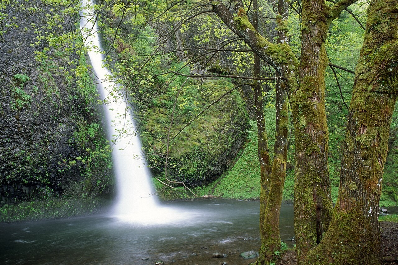
The roadside viewpoint offers a full view of Horsetail Falls before the trail climbs toward Ponytail Falls. Photo: Forest Service Pacific Northwest Region · Public domain · source
What to expect on the hike to Ponytail Falls
Trail #438 climbs above Horsetail Falls and reaches Ponytail Falls, where the path passes behind the waterfall. An older Forest Service distance chart lists Ponytail Falls about 0.5 mile from the trailhead, so the basic out-and-back is roughly 1 mile.
Despite the short distance, the trail is not flat. Expect switchbacks, roots, wet rock, and waterfall spray. The passage behind the falls can be especially slick or icy. Turn around if the trail is frozen, debris blocks the route, or official signs close the trail.
Check current conditions before attempting the historic loop
An older Forest Service chart describes a 2.7-mile loop using Horsetail Falls Trail, Oneonta Trail, Gorge Trail, and a return along the highway. The chart helps explain how the trails connect, but it does not confirm that every segment is open today.
Wildfires, landslides, bridge work, and temporary closures have changed Gorge trail connections over time. Before hiking beyond Ponytail Falls, check the current alerts page and recreation map. If any part of the route is closed or unclear, return the way you came.
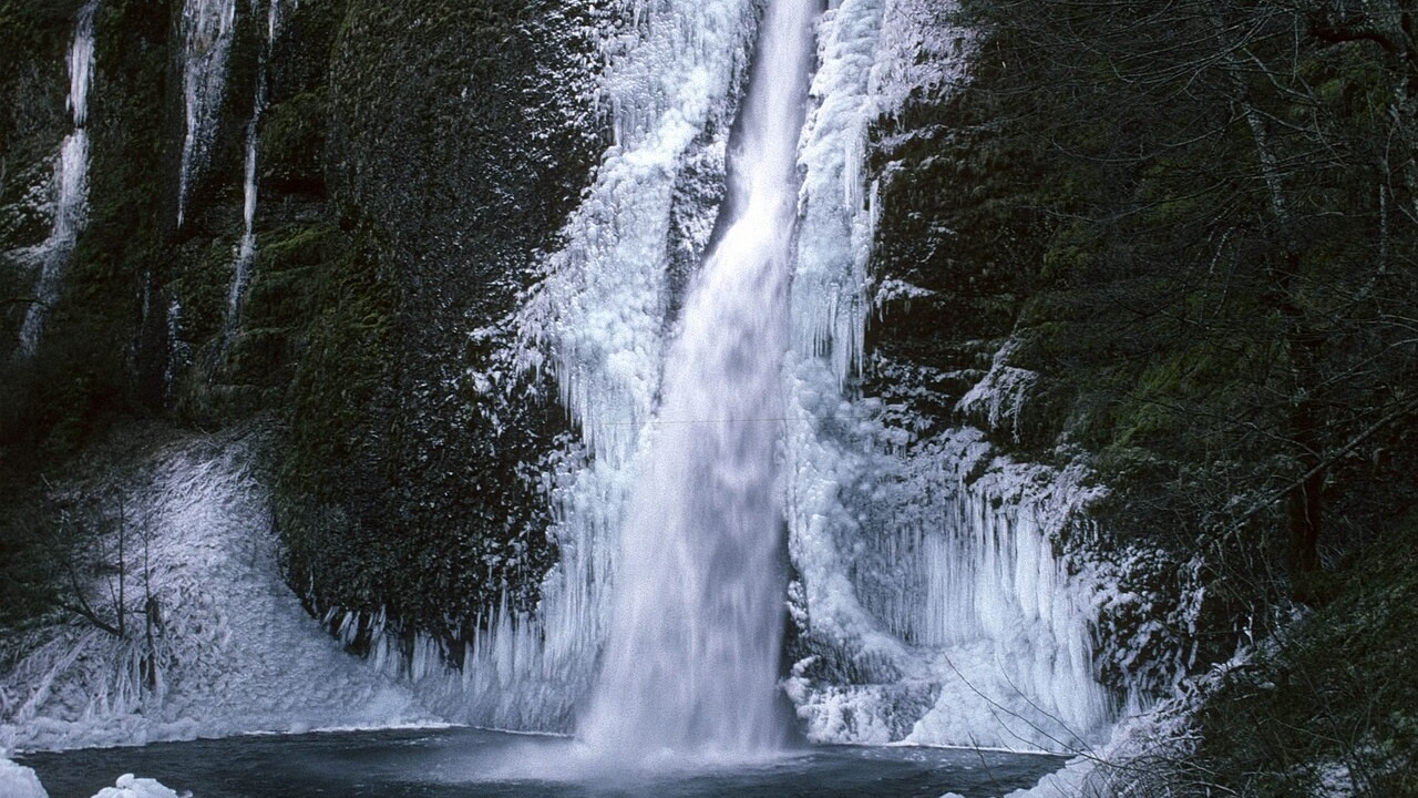
Ice can make this short waterfall trail much more difficult and dangerous. Photo: Forest Service Pacific Northwest Region · Public domain · source
Parking and seasonal conditions
The day-use area sits directly on the Historic Columbia River Highway. Traffic can be slow, and parking can fill early on busy weekends. Do not create an unofficial loop by walking along an unsafe highway shoulder.
In winter, ice can affect both the trail and the highway. In summer and early fall, heat, smoke, and fire restrictions can change quickly. Waterfall flow also drops seasonally, but lower flow does not make slick rock or falling debris less dangerous.
When to choose a different waterfall hike
Wahclella Falls is a better choice when you want a longer canyon walk. Latourell Falls offers a state-park setting where the lower viewpoint works as a destination on its own. For more options organized by trip style, see the Gorge waterfall guide.
What to check before you go
Check the day-use area, the current status of Trail #438 to Ponytail Falls, any connecting trails, highway conditions, and fire or weather alerts. Save a map of the route you actually plan to hike instead of relying on an older screenshot of the historic loop.
Related hiking guides
Best Waterfall Hikes in the Columbia River Gorge
Wahclella Falls Trail
Latourell Falls Trail
Official sources
Last checked August 27, 2026. Trail access and highway conditions can change, so review current alerts before your trip.
USDA Forest Service — Horsetail Falls Trailhead Day Use
USDA Forest Service — Columbia River Gorge alerts
USDA Forest Service — Hiking Loops Near Multnomah Falls distance chart
Photo and graphic credits
Horsetail Falls in Autumn- Columbia River Gorge.jpg — Forest Service Pacific Northwest Region; Public domain. Source
Columbia River Gorge NSA, Horsetail Falls.jpg — Forest Service Pacific Northwest Region; Public domain. Source
Columbia River Gorge NSA, Horsetail Falls, winter.jpg — Forest Service Pacific Northwest Region; Public domain. Source
Route comparison graphic created for this guide; not an official map, GPS track, or elevation profile.