Best Hikes Near Portland: 10 Trails for Waterfalls, Forests, and Gorge Views
Ten Portland-area hikes for everything from an easy forest walk to a full day in the Gorge or on Mount Hood.
Official sources were last checked on August 25, 2026. This guide draws on current agency information rather than a firsthand trail review.
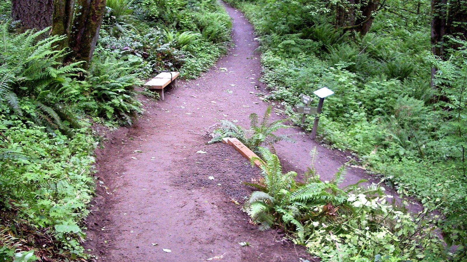
Signs at the Wildwood-Birch junction are a reminder that Forest Park is a network of trails, not a single out-and-back route. Photo: EncMstr · CC BY-SA 3.0 · cropped, resized and lightly exposure-adjusted
TRAIL UPDATE – Fire danger on Mount Hood is currently Extreme, and fire restrictions are in effect. Tamanawas Falls Trail remains closed under the Grasshopper Fire closure order. Parking rules, permits, and closures elsewhere can change quickly, so check the linked agency pages before you leave.
Check before you go: Columbia River Gorge alerts · Mt. Hood National Forest alerts · Grasshopper Fire closure
At a glance: which hike fits your day?
|
If you're looking for… |
Try this |
|
An easy nature walk |
Tryon Creek or a Forest Park route |
|
A memorable waterfall |
Wahclella Falls; Multnomah Falls for the landmark experience |
|
A challenging viewpoint hike |
Dog Mountain in season; Angel's Rest for a closer option |
|
A mountain lake |
Mirror Lake when snow and fire conditions allow |
|
Fewer parking headaches |
Forest Park or Tryon Creek; transit or shuttle for Multnomah Falls |
For the latest conditions and access details, see: Columbia River Gorge alerts · Mt. Hood National Forest alerts · Grasshopper Fire closure
Pick a hike that fits your day
A two-hour walk near town and a full-day trip to Mount Hood require very different plans. Before choosing a trail, allow time for the drive, parking, and the amount of daylight you will have.
One to two hours: Stay close to town with a signed loop in Forest Park or Tryon Creek. Both make it easy to shorten the walk if the weather turns or time runs short.
Half a day: Wahclella Falls or a shorter visit to Multnomah Falls can work well. Check the parking plan before you leave, and pick a nearby backup with designated parking in case the first lot is full.
A full day: Angel's Rest, Dog Mountain, and Mirror Lake all require more time and preparation. Choose among them based on the group's fitness, the weather, and current access rules.
Without a car: Start with places served by transit or seasonal shuttles, and check the latest schedule before building the rest of your day.
For current conditions and access details, see: Columbia River Gorge alerts · Mt. Hood National Forest alerts · Grasshopper Fire closure
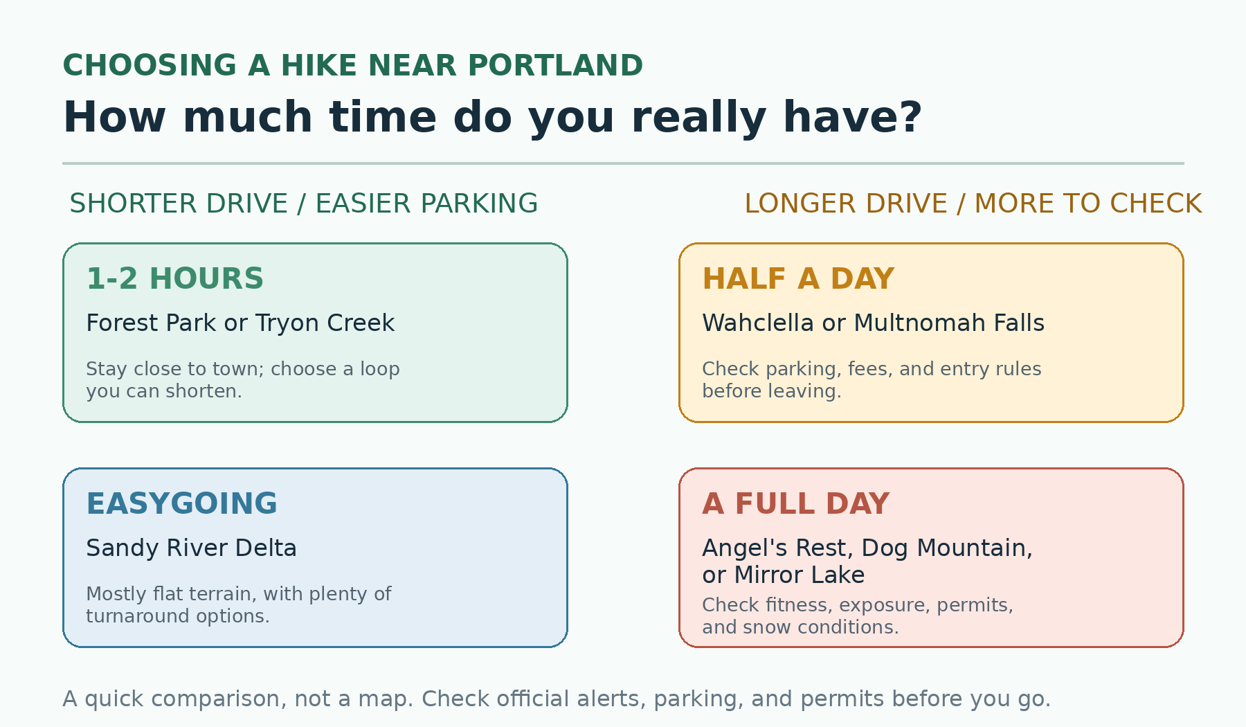
Start with the time you have, then decide how far you want to drive and how demanding the hike should be. Original graphic by the editorial team. For comparison only; not a navigational map.
Compare the 10 hikes
|
Trail |
Effort |
Highlights |
Know before you go |
|
Forest Park |
Easy to strenuous |
Forested city trails |
Pick a signed loop from the official map |
|
Tryon Creek |
Easy and flexible |
Quiet woodland close to town |
A short paved interpretive trail is available |
|
Angel's Rest |
Strenuous |
Gorge panorama |
Limited parking; exposed bluff |
|
Wahclella Falls |
Moderate |
Short canyon waterfall |
$5 fee or accepted pass |
|
Multnomah Falls |
Easy viewpoint to strenuous climb |
Landmark waterfall |
Timed-use access and heavy crowds in peak season |
|
Eagle Creek |
Moderate, with exposure |
Cliffside canyon scenery |
Narrow ledges may not suit children or anyone uneasy with heights |
|
Dog Mountain |
Strenuous |
Wildflowers and views |
Seasonal spring permit system |
|
Mirror Lake |
Moderate |
Lake and Mount Hood views |
Snow may require winter skills and equipment |
|
Tamanawas Falls |
Currently closed |
Forest and waterfall scenery |
Closed under the Grasshopper Fire order |
|
Sandy River Delta |
Easy and flexible |
Flat, low-elevation walking |
$5 federal day-use fee |
Use this table as a starting point, then check the official trail page for current conditions.
What to consider before choosing a trail
The biggest view does not always make the best day. Around Portland, drive time, parking, heat, snow, and trail exposure often matter just as much as scenery. City and state-park trails are usually the easiest choice for a relaxed half day. Gorge hikes demand more attention to parking and fees, while Mount Hood outings add snow, wildfire, and forest-road conditions to the mix.
Each route below has an official page from the agency that manages it. Mileage may still vary because of reroutes, side trips, GPS methods, and your turnaround point. Use the difficulty rating as a starting point, then consider elevation gain, exposure, trail surface, and current conditions.
The 10 best hikes near Portland
Forest Park
Forest Park offers deep woods without the highway drive. Use the Portland Parks map to build a signed loop that fits your schedule. Most trails have a natural surface, and roots, mud, and short steep sections are common.
Tryon Creek State Natural Area
Tryon Creek is an easy place to start if you want a quiet walk close to the city. Oregon State Parks describes an eight-mile trail network, including the short, paved Trillium Trail. Natural-surface trails can be muddy in the wet season, so use the park map to choose a suitable loop.
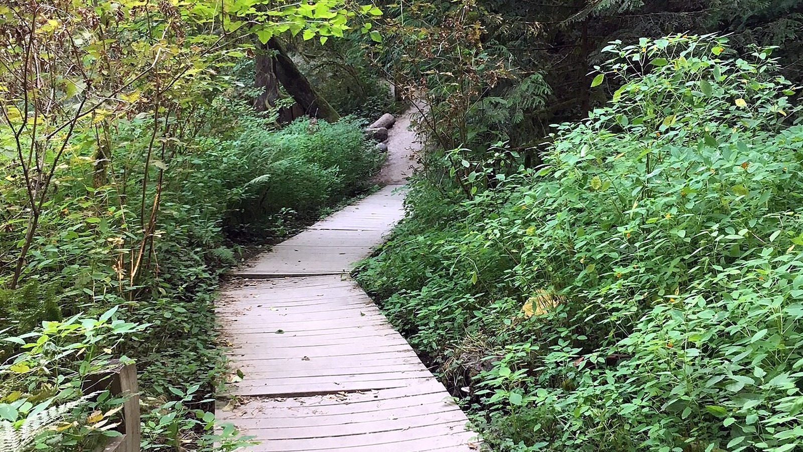
A boardwalk winds through the greenery at Tryon Creek, one of the easiest places to find a quiet woodland walk close to Portland. Photo: Fredlyfish4 · CC BY-SA 4.0 · cropped, resized and lightly exposure-adjusted
Angel's Rest
Angel's Rest trades waterfalls for a sweeping Gorge view. Most route guides put the round trip at about 4.8 miles with roughly 1,500 feet of climbing. The bluff is exposed, and the small trailhead lot often fills early.
Wahclella Falls
Wahclella Falls packs a narrow canyon and a dramatic waterfall into a relatively short hike. The Forest Service lists the route at 2.4 miles round trip. A $5 day-use fee or accepted recreation pass is required, and the lot can fill quickly.
Multnomah Falls
Multnomah Falls is the obvious choice for a famous landmark, but not for solitude. The hike to the top is 2.4 miles round trip; many visitors turn around at the lower viewpoint or Benson Bridge. In 2026, private vehicles using I-84 Exit 31 need a timed-use permit from May 22 through September 7 between 9 a.m. and 6 p.m.
Eagle Creek to Lower Punchbowl
The Eagle Creek Trail follows a dramatic basalt canyon with several narrow cliffside sections. The spur to Lower Punchbowl begins 1.8 miles from the trailhead, giving hikers a reasonable shorter turnaround. Dogs must be leashed, but many owners may still prefer to leave them at home because of the exposed ledges.
Dog Mountain
Dog Mountain is best suited to a strong group and a day with stable weather. The Forest Service lists the Dog Mountain-Augspurger loop at 6.8 miles with 2,828 feet of climbing. Spring weekend permits were required from April 11 through June 7 in 2026; check the current permit dates for future seasons.
Mirror Lake
The Forest Service lists roughly 1.9 miles from the trailhead to the lake with 460 feet of climbing, plus a 0.4-mile loop around the lake. The complete out-and-back makes a moderate half-day hike. Snow can turn it into a much more technical outing.
Tamanawas Falls
Tamanawas Falls is normally a moderate forest hike along Cold Spring Creek to a broad waterfall. As of August 25, 2026, however, the trail remains closed under the Grasshopper Fire closure order. Do not enter until the Forest Service lifts the closure.
Sandy River Delta
Sandy River Delta is a good choice for a flat, low-elevation walk with open Gorge views. The Forest Service lists more than eight miles of trails, along with specific leash zones near the parking area, facilities, and Confluence Trail. A $5 federal day-use fee applies; Oregon and Washington state passes are not accepted.
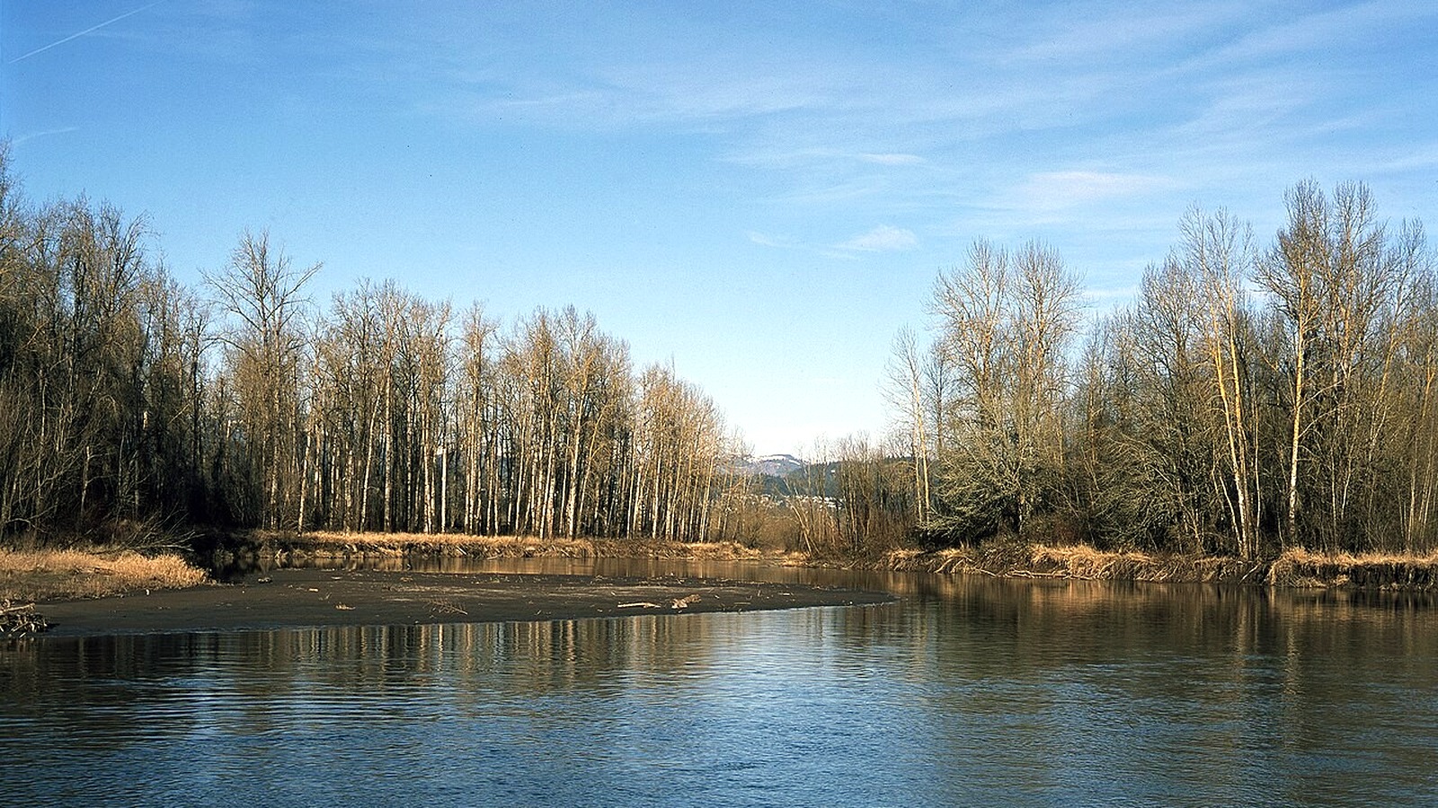
Sandy River Delta stays low and open, making it a useful option when higher trails are snowy or the group wants an easier walk. Photo: Bill Reynolds · CC BY 2.0 · cropped, resized and lightly exposure-adjusted
Current trail conditions and access: Columbia River Gorge alerts · Mt. Hood National Forest alerts · Grasshopper Fire closure
Three easy ways to plan the day
On a rainy day or during the short winter daylight season, Tryon Creek or a modest Forest Park loop keeps the outing simple. For waterfalls, compare current access at Wahclella, Multnomah, and Tamanawas before deciding where to go. If views are the priority, Angel's Rest offers the shorter climb, while Dog Mountain is a much bigger day.
Choose a second option before leaving Portland. Gorge parking areas often fill, and parking outside designated spaces may be unsafe or illegal. Look for a backup in the same general area that uses a different trailhead. During peak season, transit or a shuttle may be the easiest way to reach Multnomah Falls.
Safety, dogs, and seasonal access
Carry water, extra layers, a map, and traction when icy conditions are possible. Gorge cliffs can be hazardous even on short hikes, while Mount Hood trails may hold snow long after spring arrives in Portland. During fire season, check both closures and restrictions; an open trail does not necessarily mean campfires are allowed.
Dog rules vary by site, and following the leash rule is only the first step. Narrow ledges, crowds, hot rock, wildlife, and fast-moving water can make a trail unsuitable even when dogs are allowed. Check the official trail page, pack out waste, and choose another hike if the terrain is beyond your dog's experience.
Frequently asked questions
What is the best easy hike near Portland? Tryon Creek is a good starting point for many visitors because it offers several short loops and a paved interpretive trail. What counts as easy will still depend on mobility, mud, and the route you choose.
Which Portland hike has the best view? Angel's Rest offers a sweeping Gorge view on a shorter hike than Dog Mountain. Dog Mountain is a much harder climb with broad summit views, and it requires better fitness and more attention to seasonal rules.
Do I need a pass? Sometimes. Forest Service fee sites, Oregon State Parks trailheads, and timed-entry systems are separate programs. Confirm the exact trailhead rather than assuming one pass covers every place.
More hiking guides
Sources and update notes
Trail details in this guide come from the public agencies linked below. Mileage and elevation can vary with reroutes, side trips, turnaround points, and GPS methods. Access rules, fees, and closures were last checked on August 25, 2026. Check the relevant agency page again before you go. This is an independently researched guide, not a firsthand trail review.