Columbia Gorge Wildflower Hikes: Where to Find Blooms from Early Spring to Summer
Wildflower season usually begins on the Gorge’s low, sunny eastern slopes and moves to higher elevations as spring turns to summer. Bloom dates vary every year, so recent reports matter more than last year’s calendar.
Research-based guide · Official information checked August 27, 2026 · Based on official sources rather than firsthand trail testing
SEASONAL NOTE — Bloom timing depends on winter moisture, spring temperatures, elevation, and sun exposure. By late August, the main spring display has ended at most of the places in this guide. Use this article to plan for a future season, then recheck closures, fire restrictions, and permit dates for that year.
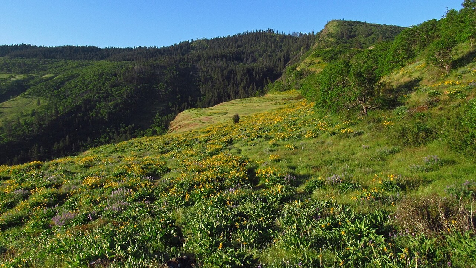
Wildflowers spread across the open slopes near Rowena Crest. Photo: Jeffhollett · CC BY-SA 4.0 · source · license
How wildflower season moves through the Gorge
Wildflower season does not peak everywhere in the Gorge at once. Low, sunny slopes on the Washington side may begin blooming while higher trails are still cold and wet. As spring turns to summer, the strongest color often moves uphill while the lower grasslands dry out.
Start by comparing location and elevation, then check recent reports from the managing agency or a trusted local organization. A photo taken during the same week last year does not guarantee that flowers will be at the same stage this year.
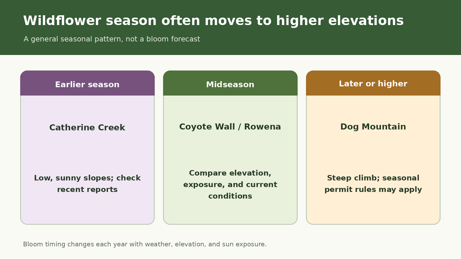
Quick seasonal comparison created for this guide; not an official map or GPS route.
At a glance
|
Area |
Usual season |
What stands out |
What to know |
|
Catherine Creek |
Early spring |
Paved loop and open slopes |
Stay outside the protected arch area |
|
Coyote Wall |
Spring |
Large trail network with open Gorge views |
Dogs leashed Dec. 1–June 30; Raptor Trail closes Feb. 1–June 15 |
|
Rowena / Tom McCall |
Spring into early summer |
Wildflowers, geology, and open views |
No dogs in the preserve; no restrooms at Rowena Crest |
|
Dog Mountain |
Late spring into early summer |
High meadows reached by a steep climb |
Seasonal weekend permit dates vary by year |
Trail distances and bloom timing can vary. Check the managing agency’s current trail page before you go.
Catherine Creek: one of the Gorge’s earliest wildflower stops
Catherine Creek is one of the Gorge’s better-known early spring wildflower areas. The Forest Service lists a 1.9-mile loop northeast of the trailhead, while the south side has a shorter paved interpretive loop. Open slopes, a seasonal waterfall, and broad river views make the area worthwhile even between peak bloom periods.
The site protects rare plants and a natural arch. Stay on signed routes and outside the closed area around the arch; do not leave the trail for a closer photograph. Poison oak, ticks, and rattlesnakes are also part of this dry east-Gorge landscape.
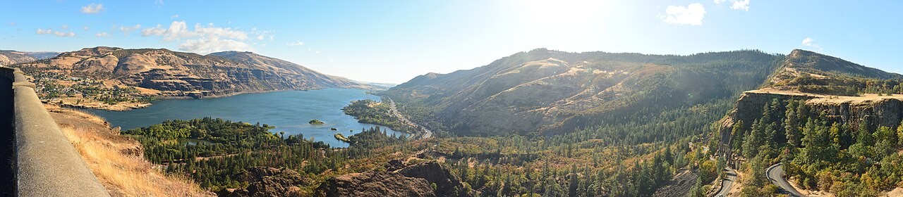
Rowena Crest shows the open east-Gorge setting where spring blooms give way to dry summer conditions. Photo: Joe Mabel · CC BY-SA 4.0 · source · license
Coyote Wall: more trails and more ways to explore
Coyote Wall has more than 30 miles of trails, so choose a loop before you arrive instead of simply following the flowers. Its thin soils and sensitive habitat are easily damaged. Follow current signs, stay off decommissioned user paths, and park only in designated spaces.
Seasonal rules protect wildlife and vegetation. Dogs must be leashed from December 1 through June 30, and Raptor Trail closes from February 1 through June 15. According to the current Forest Service page, the trailhead has no fee, restroom, or potable water.
Rowena Plateau for an easy walk, McCall Point for a climb
Rowena Crest provides access to the adjacent Tom McCall Nature Preserve. Oregon State Parks describes a 2.6-mile Plateau Trail and a more strenuous 4-mile out-and-back to McCall Point. The plateau offers geology and open views, while the climb to McCall Point takes more time and effort.
Dogs are not allowed in the preserve, and Rowena Crest has no restrooms. In 2026, Oregon State Parks posted fire restrictions effective July 6. Those restrictions do not describe spring bloom conditions, but they show why visitors should check current rules again later in the season.
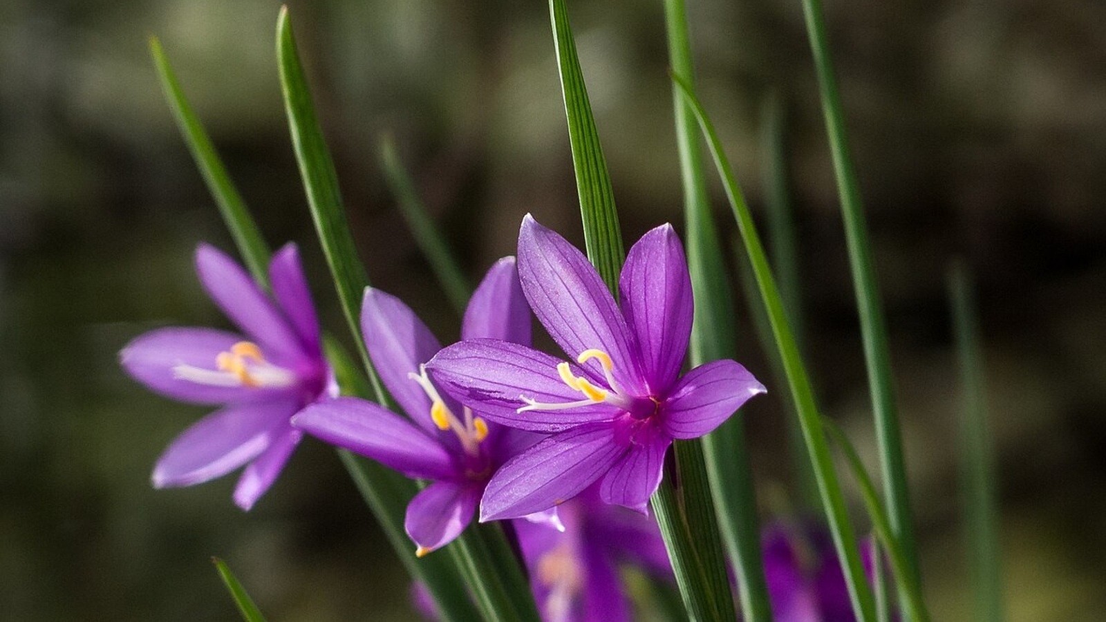
A close view is possible without stepping into a protected flower patch. Photo: Aislinn Wildrose · CC BY 3.0 · source · license
Dog Mountain and other later-season options
Dog Mountain is the most demanding hike in this guide, with a steep climb to exposed meadows rather than a relaxed wildflower walk. Seasonal weekend permits have been required in past years, but dates and reservation details can change. See the dedicated Dog Mountain guide for route difficulty and current permit information.
Columbia Hills State Park offers broad, open-country views and may extend the wildflower season, while Cape Horn can offer spring flowers closer to Vancouver. Each area has its own passes, closures, and route rules. An annual peregrine closure affects the lower Cape Horn loop, so the wildlife restriction still matters even when wildflowers are the main reason for your visit.
Help protect the wildflowers and fragile habitat
Stay on established trails. When passing, step only onto durable surfaces, and use a longer lens rather than walking into a flower patch. Follow the dog rules for each site, and pack out all waste. A small unofficial path beside the flowers can cause lasting damage after a busy weekend.
Wind, heat, and sun exposure can increase quickly on the east side. Carry water even on a cool morning, check fire restrictions, and turn around before heat or smoke makes the return uncomfortable or unsafe.
When to plan each wildflower hike
Catherine Creek is often the best starting point for an early-season trip. As spring progresses, compare Coyote Wall with Rowena, then look to Dog Mountain or other higher routes later. Check current bloom reports, permits, closures, and fire rules within a few days of your hike.
Related hiking guides
Dog Mountain Trail
Cape Horn Trail
Best Hikes in the Columbia River Gorge
Official sources
Last checked August 27, 2026. Bloom timing and access rules can change, so review current reports and park alerts before your trip.
USDA Forest Service — Coyote Wall Recreation Area
USDA Forest Service — Catherine Creek Recreation Area
Oregon State Parks — Rowena Crest Overlook
USDA Forest Service — Columbia River Gorge alerts
Photo and graphic credits
Rowena Crest at Columbia River Gorge in Oregon 1.jpg — Jeffhollett; CC BY-SA 4.0. Source · License
Columbia River from Rowena Crest pano 02.jpg — Joe Mabel; CC BY-SA 4.0. Source · License
Springtime Cheer (204762655).jpeg — Aislinn Wildrose; CC BY 3.0. Source · License
Seasonal comparison graphic created for this guide; not an official map, GPS track, or bloom forecast.