Larch Mountain Trail, Oregon: Viewpoint, Road Access and One-Way Route
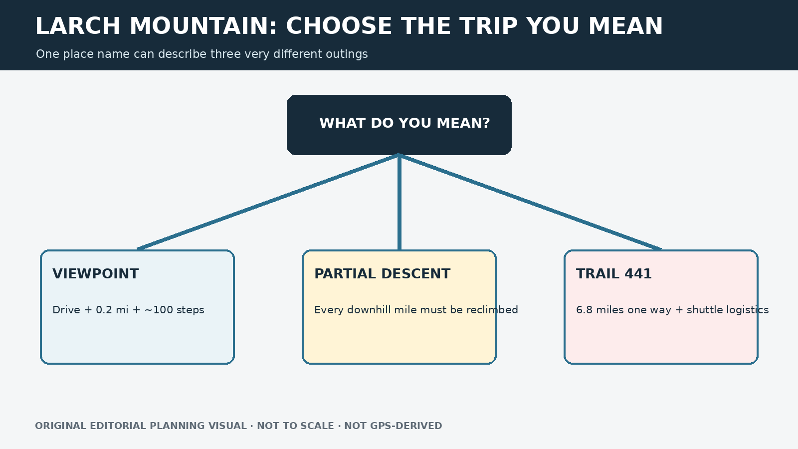
“Larch Mountain Trail” may refer to a short summit viewpoint or a demanding one-way connection to Multnomah Falls. Decide which trip you mean before relying on a mileage figure.
Research-based editorial guide · Official access status checked August 24, 2026 · No claim of a personal hike or firsthand test
DAY-USE SITE OPEN AS CHECKED — Larch Mountain Road closes annually in winter and may open or close with conditions. Confirm road, trail and fire status before travel.
Original editorial planning graphic · not to scale · not GPS-derived
Quick distinction: Sherrard Point, a partial descent from the summit and the full Trail 441 route are three different trips. Do not combine their mileage.
For the Sherrard Point viewpoint
For the shortest visit, drive to Larch Mountain Day Use when the road and site are open, then follow the 0.2-mile Sherrard Point Trail. The viewpoint requires about 100 steps and is not ADA accessible. On a clear day, the Forest Service describes views of Mount Rainier, Mount St. Helens, Mount Adams, Mount Hood and Mount Jefferson.
This is a viewpoint visit, not a 6.8-mile hike. Do not confuse the short Sherrard Point walk with the much longer one-way Trail 441 route.
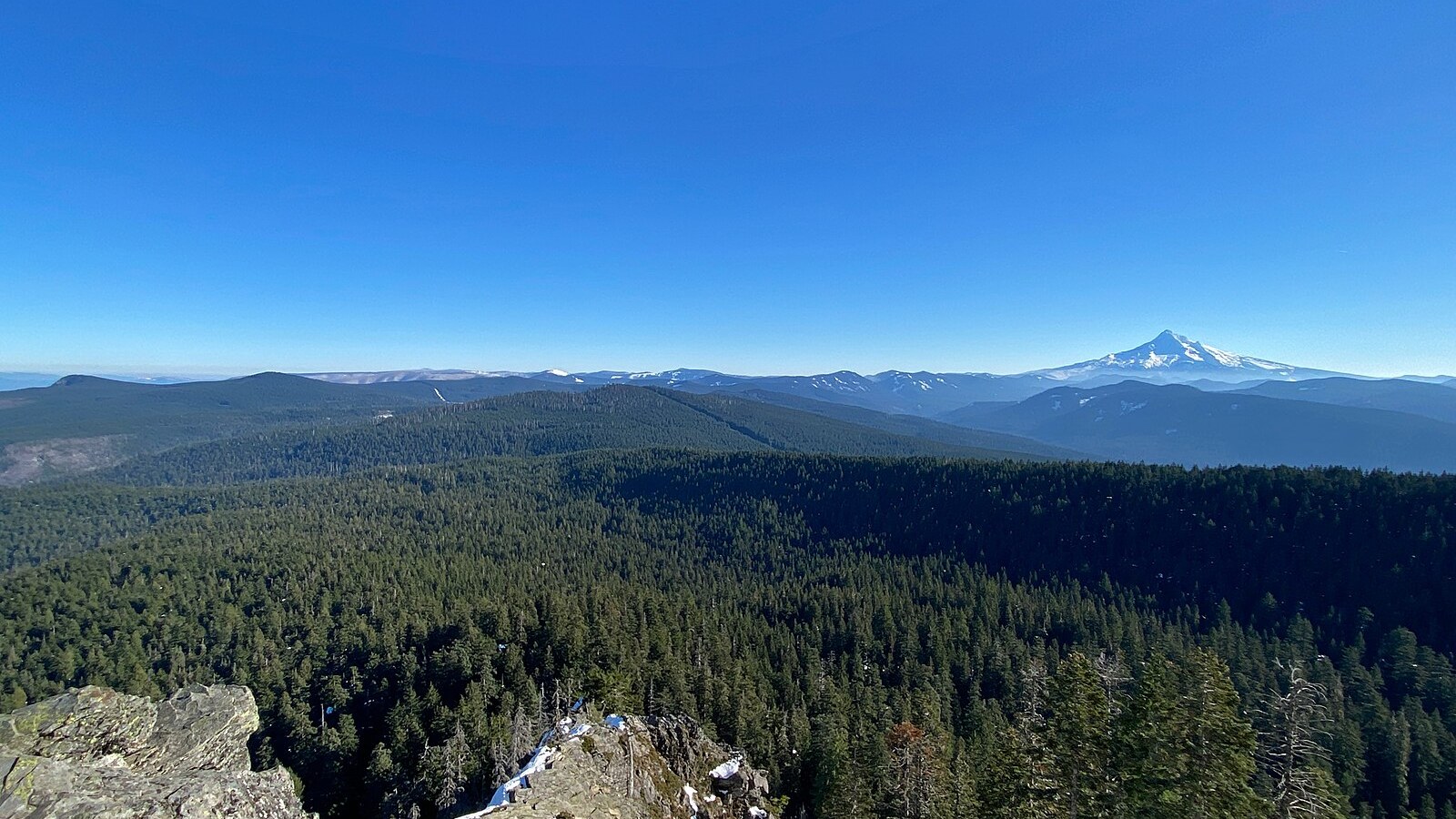
The 0.2-mile viewpoint path includes roughly 100 steps. Photo: jhvanwa · CC0 1.0 · cropped and resized
For a partial descent from the summit
Descending Trail 441 from the day-use area can feel easy at first because the return climb is out of sight. Unless the group has a legal shuttle or a firm out-and-back turnaround, every downhill mile must be climbed again. Explain the direction and return plan before recommending any summit-start section.
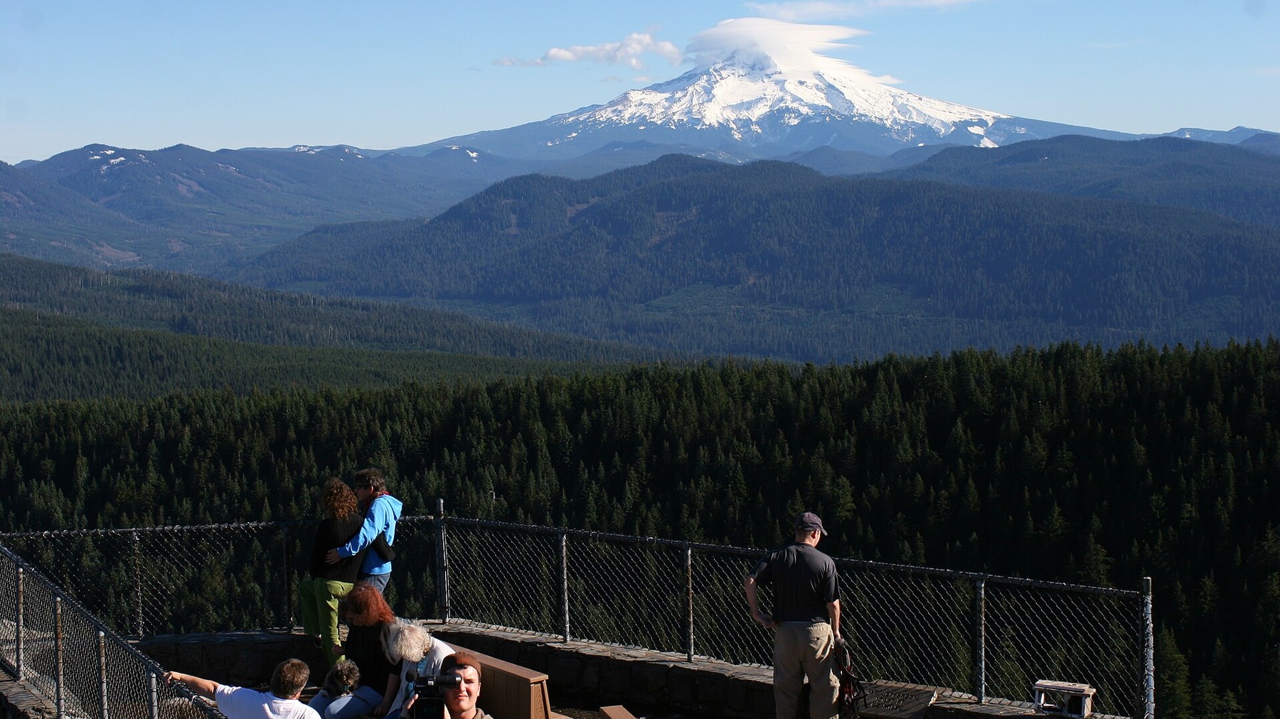
Visitors at Sherrard Point show the short summit-area objective and its open mountain-view setting. Photo: Oca Hoeflein · CC BY 3.0 · cropped and resized
For the full Trail 441 route
The Forest Service lists Larch Mountain Trail #441 as a 6.8-mile route between the Multnomah Falls area and Larch Mountain Day Use. That distance is one way. Returning on the same trail would roughly double it, while a point-to-point trip requires a two-car shuttle or another legal transportation plan and current access at both ends. Do not present 6.8 miles as a casual round trip.
Road access, fees and facilities
Short viewpoint: Sherrard Point Trail #443, 0.2 mile
Viewpoint feature: About 100 steps; not ADA accessible
Long route: Larch Mountain Trail #441, 6.8 miles one way
Road season: Typically June to late November; annual winter closure
Day-use fee: $5 per vehicle or valid recreation pass
Facilities: Restroom; no potable water
Seasonal road access and facilities
Larch Mountain Road usually closes around late November and reopens in late May or early June, depending on conditions. The day-use area generally operates from June through late November, from sunrise to sunset. The published fee is $5 per vehicle or a valid recreation pass. Restrooms are available, but there is no potable water.
Park only in designated spaces. A valid pass does not make a closed gate or full lot available.
Planning the one-way version
For a point-to-point trip on Trail 441, write down both trailheads, confirm access at both ends, plan the vehicle or shuttle sequence, set the latest departure time and decide what to do if either road or parking area is unavailable. Every driver should have the same keys and meeting instructions. Because the day-use area closes at sunset, a vehicle at the summit cannot be treated as an unrestricted overnight endpoint. Confirm that any shuttle service operates on the intended date; do not imply that one exists without a current operator and schedule.
For a partial descent from the summit, set a firm turnaround based on the climb back rather than how easy the downhill feels. At Sherrard Point, allow time for the stairs and changing visibility. Clouds may hide the volcano views without making the site unsafe, but ice or a closed gate can end access. Bring all drinking water because the official day-use page says none is available.
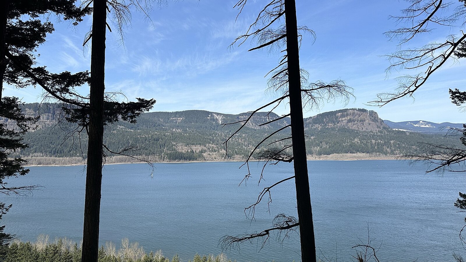
Trail 441 is a one-way mountain connection, not the short viewpoint walk. Photo: Slinkyo · CC0 1.0 · cropped and resized
Weather and other options
At roughly 4,000 feet, the summit may be cooler, windier and cloudier than the river corridor. Snow or road debris can linger even when lower Gorge trails are dry. Sherrard Point suits visitors who can manage the steps; Trail 441 is for hikers prepared for one-way logistics, much greater elevation change and changing forest conditions.
For a short lake loop with a different access system, compare Trillium Lake. For a waterfall loop from the Historic Highway, compare Latourell Falls. If you are planning from Hood River, use the direction guide rather than assuming the mountain road will be open.
Before you go
Confirm that Larch Mountain Road and the day-use area are open, the $5 fee is current, Trail 441 has no active closure and access to Sherrard Point has not changed. If you are considering Trail 441, remember that the published 6.8 miles is one way.
Related hiking guides
Sources and last checked
Official agency pages are the authority for closures, access, fees and rules. Supplemental organizations are used only for clearly labeled planning estimates. This guide is based on published sources and does not claim a firsthand hike. Recheck all time-sensitive details on the publication date and again before travel.
Last checked: August 24, 2026. Review the page whenever an alert, fire restriction, road or gate status, fee, permit, seasonal rule, trail repair or official map changes.
Photo and graphic credits
View of Columbia River from Larch Mountain Trail 441, near Multnomah Falls, Oregon.jpg — Slinkyo, CC0. · Sherrard point larch mt oregon.jpg — Oca Hoeflein, CC BY 3.0. · On Sherrard Point (4332508481).jpg — Šarūnas Burdulis from USA, CC BY-SA 2.0.
Functional visual: original editorial graphic created for this article; not a trail map, GPS track or measured elevation profile.