Dry Creek Falls Trail: PCT Route, Parking and Fee Guide
A forested waterfall hike near Cascade Locks with one easy-to-miss planning detail: the parking operator and the trail manager are not the same agency.
Research-based editorial guide · Official access status checked August 24, 2026 · No claim of a personal hike or firsthand test
OPEN SUBJECT TO CURRENT GORGE AND PCT STATUS — Verify Harvey Road access, the Port of Cascade Locks parking rule, fire restrictions and the exact PCT segment before departure.
Quick answer: Identify the correct Cascade Locks parking rules before focusing on mileage. The organization that manages the parking area is not the same one that manages the trail.
Start with the correct parking area
Dry Creek Falls is reached from Cascade Locks on the Pacific Crest Trail, but the trip begins with local parking rules rather than a general Forest Service fee. Recent planning sources point to Harvey Road access and a Port of Cascade Locks parking fee. Confirm the current operator, price and payment method before publication.
A Northwest Forest Pass may not cover the local parking fee. Never write “pass required” without naming the pass and the agency or organization that accepts it. If the lot is full, leave rather than parking on the shoulder.
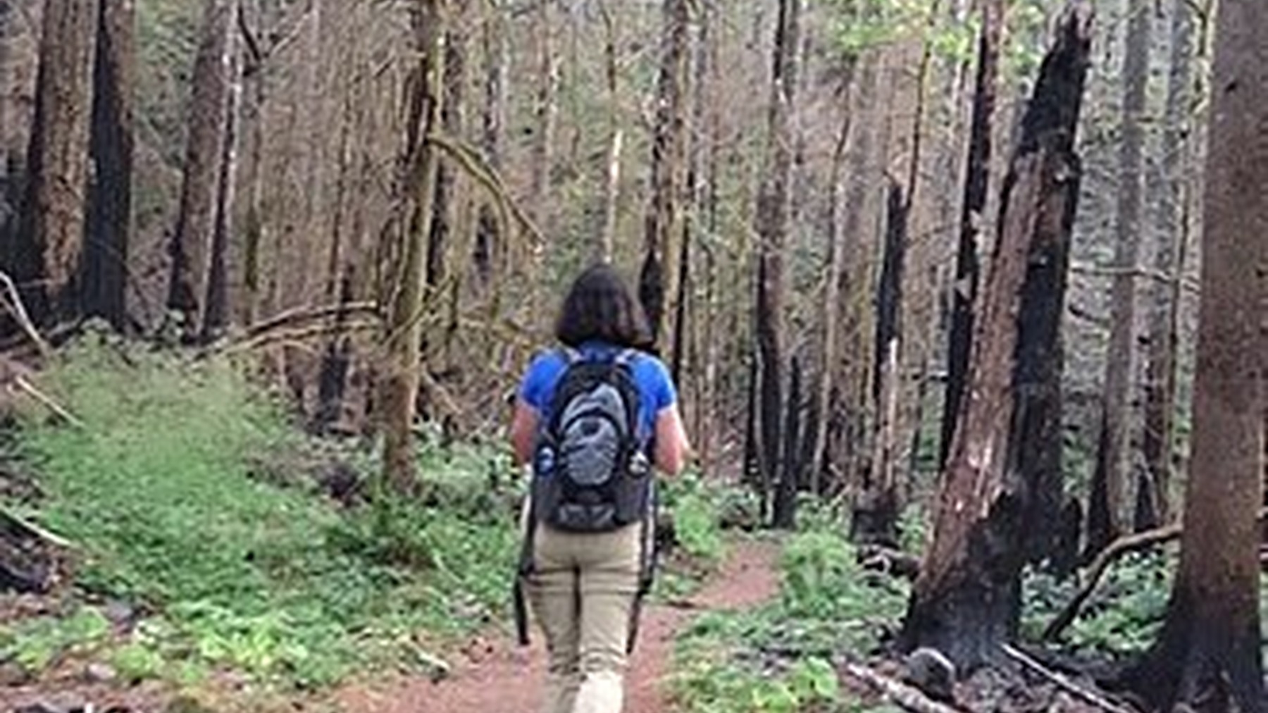
A hiker on the Pacific Crest Trail shows the forested corridor used to reach Dry Creek Falls from Cascade Locks. Photo: U.S. Forest Service- Pacific Northwest Region · Public domain · cropped and resized
Mileage and route to the falls
Friends of the Gorge lists about 4.4 miles, while Washington Trails Association uses roughly 4.6 miles and 860 feet of gain. These are supplemental estimates, not a single official Forest Service measurement. The difference is small but worth labeling: cite the source and avoid false precision in quick facts or structured data.
From the signed access point, join the Pacific Crest Trail and follow current signs toward Dry Creek. Forest and old-road sections make this feel gentler than the exposed cliffs of some Gorge hikes, but the junctions still deserve attention. Dry Creek Falls drops into a basalt amphitheater and is described by PCTA as about 60 feet high.
Make the waterfall your turnaround instead of casually continuing onto an unplanned section of the PCT. Save the route page offline because cell service can be unreliable in the Gorge.
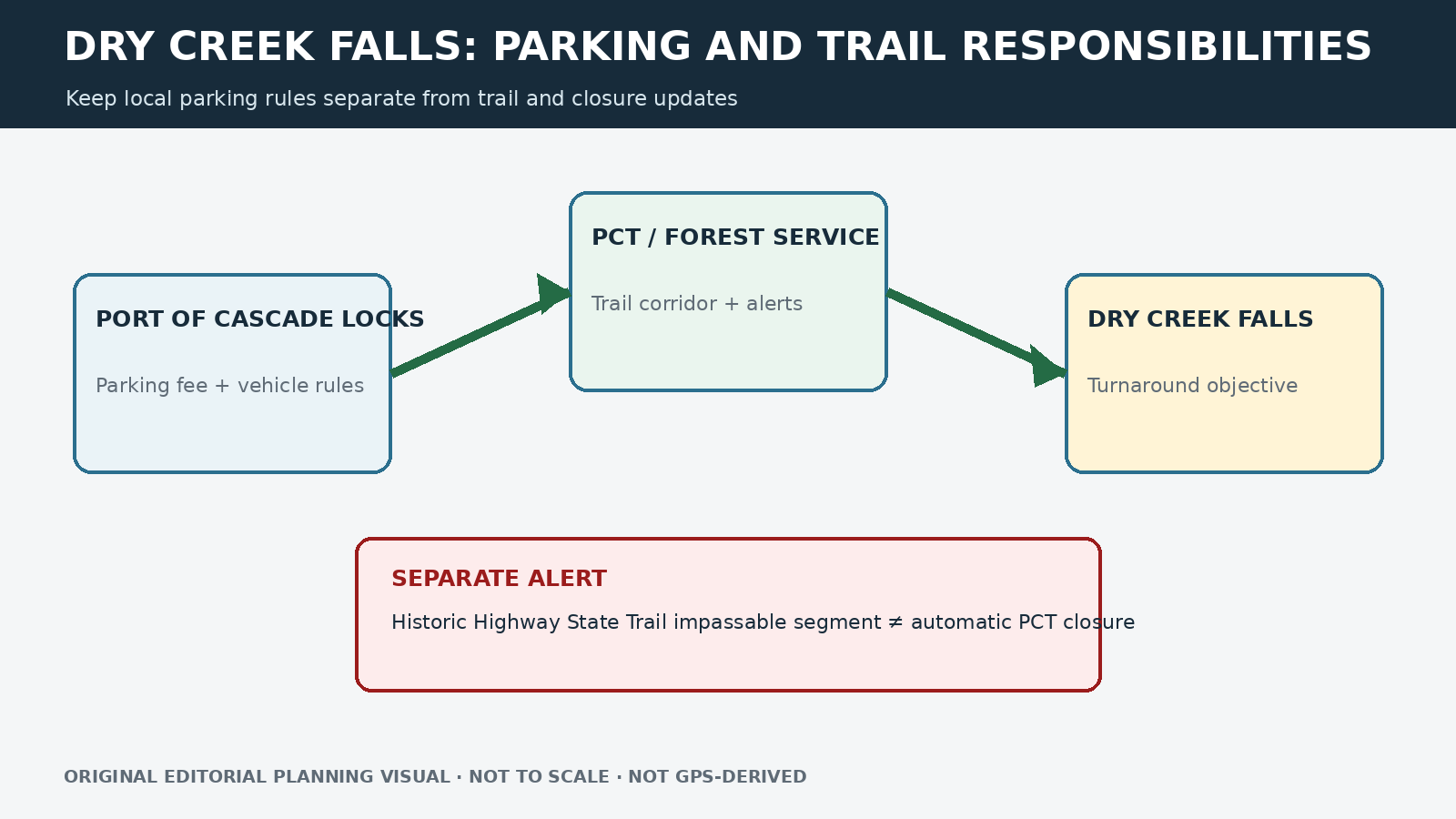
Original editorial planning graphic · not to scale · not GPS-derived
A nearby closure does not automatically close this route
A current Gorge alert says the Historic Columbia River Highway State Trail is impassable between Eagle Creek and Cascade Locks. That warning applies to a separate corridor. Do not suggest using the closed or impassable section as a connector, but do not mark Dry Creek Falls closed solely because a nearby state trail is affected. Check the exact PCT segment and Harvey Road access.
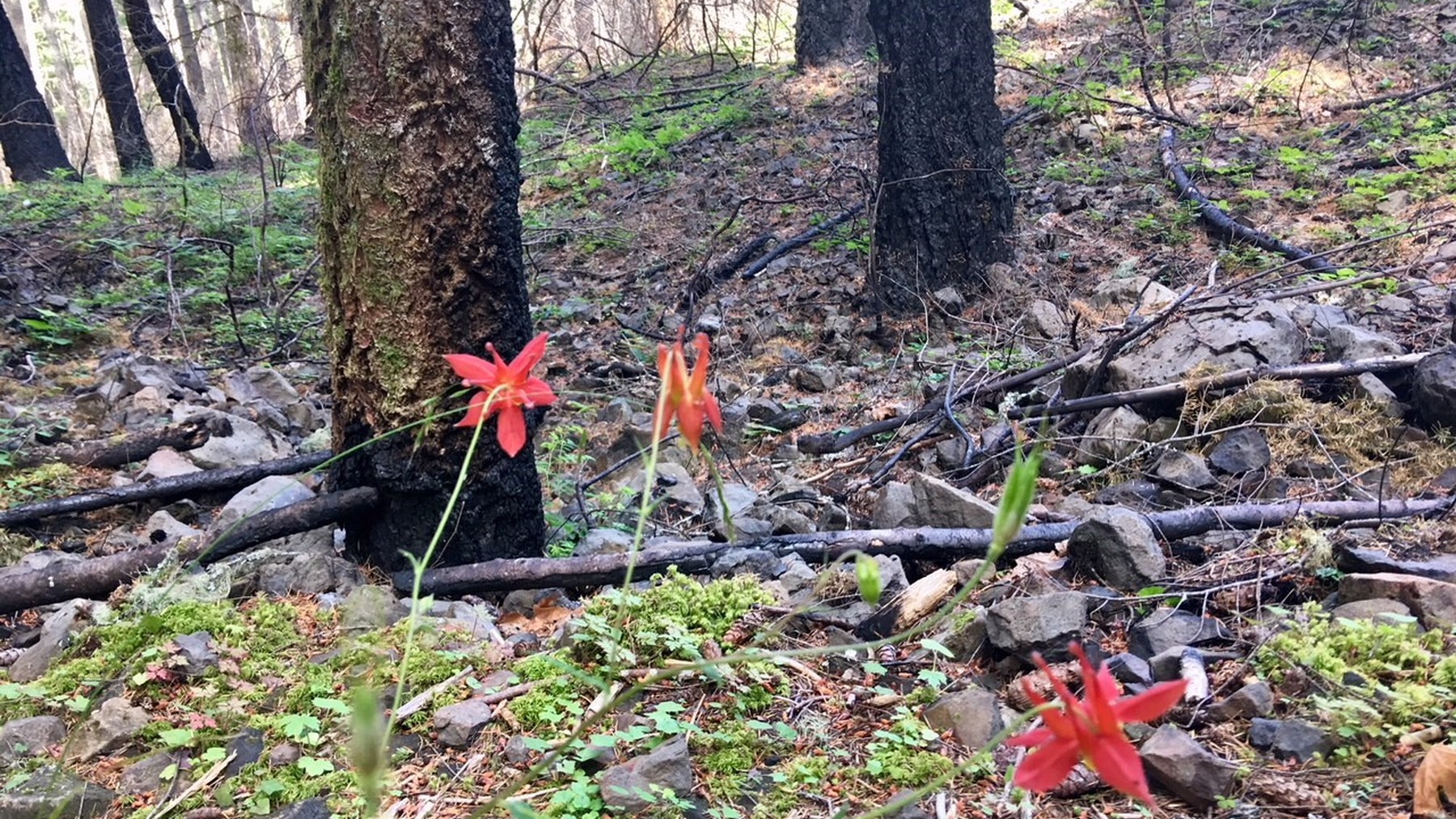
Seasonal wildflowers add a close-up trail detail without implying that bloom timing or trail conditions are guaranteed. Photo: U.S. Forest Service- Pacific Northwest Region · Public domain · cropped and resized
Who this hike is best for
The forested trail may be muddy, slippery or covered with storm debris, and summer fire restrictions still apply. It suits hikers looking for a moderate waterfall outing without the exposed cliff sections found on Eagle Creek. Even so, the trip still requires attention at junctions and a legal parking plan.
If parking or trail access is unavailable
If the local parking area is unavailable, move to a legal backup you have already checked instead of circling for a space. Wahclella Falls is shorter but has a small lot of its own. Cape Horn offers viewpoints rather than a waterfall and is affected by seasonal wildlife closures. Hood River can be a place to reset the day, but it is not evidence that another trail is open.
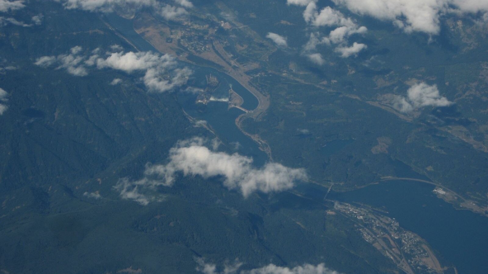
Cascade Locks is the starting point, but the local parking rules determine where and how you can leave a vehicle. Photo: Ken Lund · CC BY-SA 2.0 · cropped and resized
Trailhead habits that prevent mistakes
At the trailhead, confirm that signs and the current route match the saved plan. Note the junctions on the way out so the return does not depend on memory. Expect wet forest trail after rain, and carry drinking water rather than relying on the creek. Turn around for storm debris, fire activity or an official closure sign. Do not continue toward Eagle Creek or an impassable state-trail section simply to add mileage.
Quick facts
Route: Pacific Crest Trail connection to Dry Creek Falls
Planning distance: About 4.4–4.6 miles round trip, depending on source and endpoint
Elevation estimate: About 860 feet; supplemental WTA estimate
Waterfall: Approximately 60 feet, per PCTA
Parking: Verify current Port of Cascade Locks fee at Harvey Road access
Pass warning: Do not assume a Northwest Forest Pass substitutes for the local parking fee
Related hiking guides
Sources and last checked
Official agency pages are the authority for closures, access, fees and rules. Supplemental organizations are used only for clearly labeled planning estimates. This guide is based on published sources and does not claim a firsthand hike. Recheck all time-sensitive details on the publication date and again before travel.
Last checked: August 24, 2026. Review the page whenever an alert, fire restriction, road or gate status, fee, permit, seasonal rule, trail repair or official map changes.
Photo and graphic credits
Hiker along Pacific Crest Trail in July 2018. (28626898757).jpg — U.S. Forest Service- Pacific Northwest Region, Public domain. · Wildflowers along Pacific Crest Trail in the Columbia River Gorge in Oregon post Eagle Creek Fire 6 14 2018 photo by Ralph Bloemers. (42442529805).jpg — U.S. Forest Service- Pacific Northwest Region, Public domain. · Cascade Locks, Oregon Along Columbia River (1291999230).jpg — Ken Lund from Reno, Nevada, USA, CC BY-SA 2.0.
Functional visual: original editorial graphic created for this article; not a trail map, GPS track or measured elevation profile.