Eagle Creek Trail: Exposure, Waterfalls, and Turnaround Options
What to expect on the narrow cliffside sections, where to turn around for waterfalls, and how to plan for parking and current closures.
We last checked the official sources on August 26, 2026. This guide is based on agency information and is not a firsthand trail report.
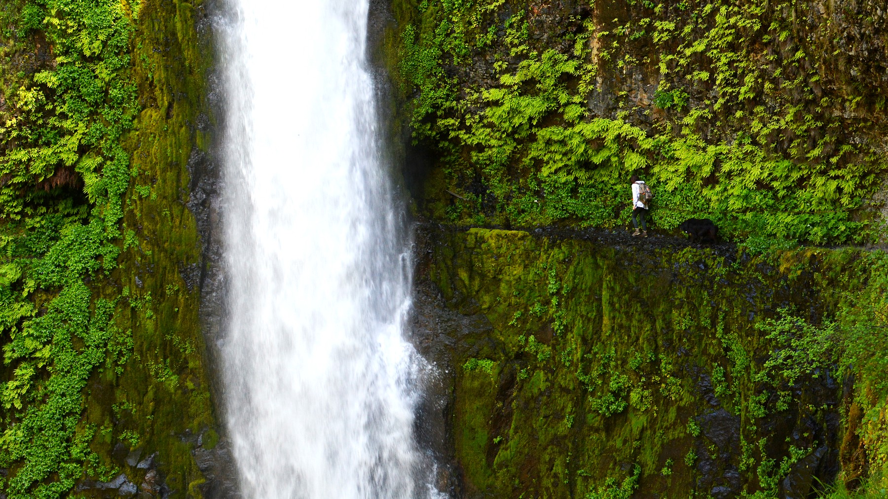
Tunnel Falls belongs to a much longer outing than Lower Punchbowl and should be planned as a full-day hike. Photo: Paxson Woelber – CC BY 2.0
TRAIL UPDATE – Eagle Creek Trail #440 is listed as open on the current Forest Service page. A separate landslide closure affects the Historic Columbia River Highway State Trail between Eagle Creek and Cascade Locks. Check the exact route and Gorge alerts before you go.
Check before you go: Eagle Creek Trailhead & Trail #440 – Lower Punchbowl Trail #440B – HCRH State Trail – Cascade Locks to John Yeon
The exposed sections matter more than the mileage
Eagle Creek begins gently, but it soon reaches narrow ledges cut into basalt walls. Cables offer a handhold in places; they do not remove the drop-off. A hiker who is comfortable on a typical forest trail may still dislike this route, especially when the rock is wet or people are passing in both directions.
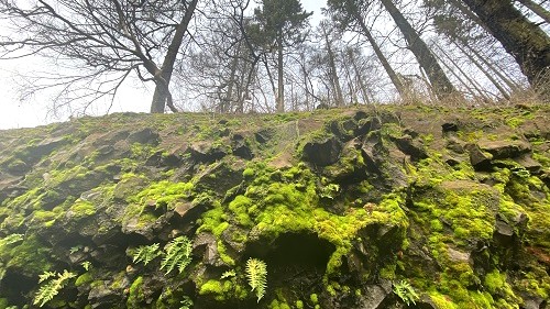
The canyon walls and narrow tread make Eagle Creek feel more serious than its early mileage suggests. Photo: USDA Forest Service Pacific Northwest Region – Public domain (U.S. federal government work)
How far do you want to hike?
Eagle Creek offers several possible destinations rather than one standard day hike. Before setting out, choose a turnaround and a firm time to head back. It is easy to keep going when the scenery is good, but Tunnel Falls is a much longer day than Lower Punchbowl.
|
Destination |
Approximate scope |
Why hikers choose it |
What to know |
|---|---|---|---|
|
Lower Punchbowl spur |
Spur begins 1.8 miles from the trailhead |
A shorter waterfall destination |
Exposed ledges come before the spur |
|
Punch Bowl area |
A longer canyon outing |
More canyon scenery |
More time on narrow, exposed trail |
|
Tunnel Falls |
A long, full-day destination |
A signature waterfall and tunnel section |
Plan for a full day and a long return |
What to expect in the first few miles
The first miles follow Eagle Creek through a deep, green canyon. Small waterfalls and pools appear below the trail, but the main challenge is the tread itself. Wet leaves, moss, and spray can reduce traction. Pause at wider areas rather than stopping in the middle of a narrow ledge.
The Lower Punchbowl spur begins 1.8 miles from the trailhead. Remember to include the spur and the hike back when estimating your total distance. If anyone already feels uneasy on the exposed sections, there is no reason to push farther—the same ledges remain on the return.
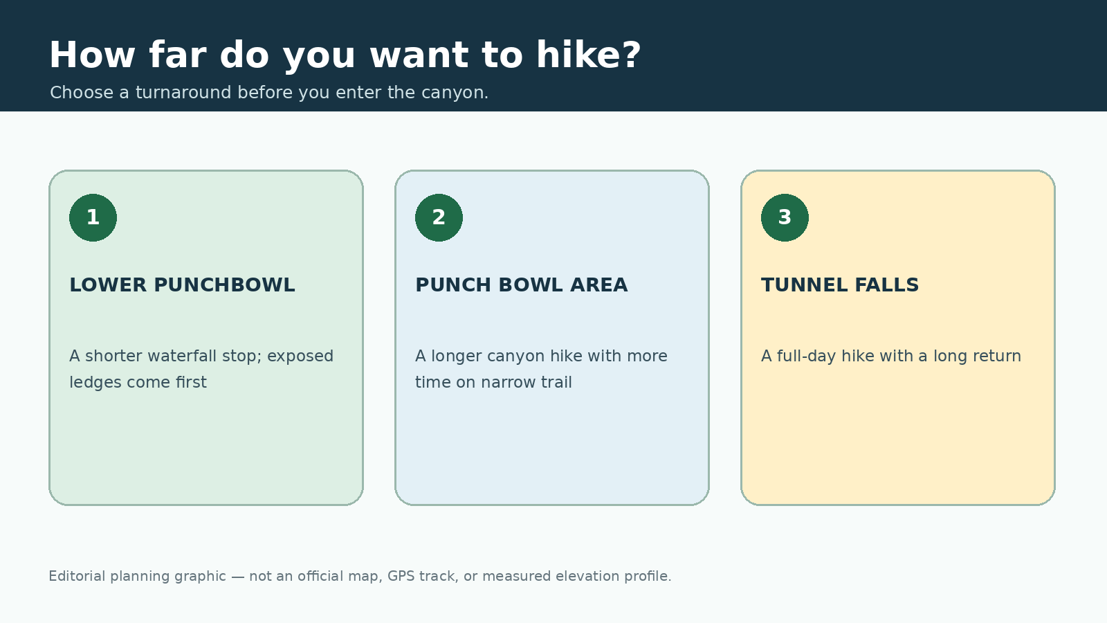
This original editorial graphic is meant only as a planning aid. It is not an official map, GPS track, or measured elevation profile.
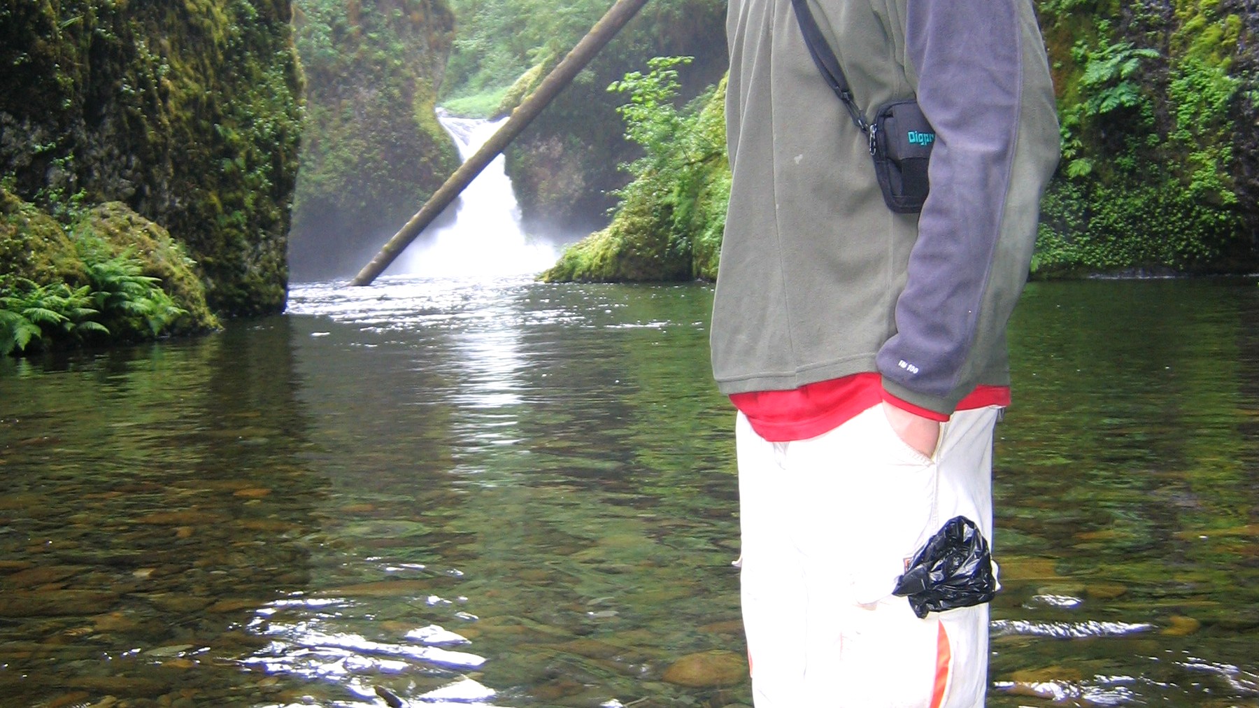
Lower Punchbowl is a common shorter turnaround, although hikers encounter exposed trail before reaching the spur. Photo: DMinutive – Public domain
Parking, fees, and the nearby state-trail closure
The Eagle Creek trailhead is a federal day-use fee site. Confirm the current fee and accepted passes before leaving reliable service. Parking is limited, and an unofficial space along a road or ramp is not a safe substitute.
The closure on the Historic Columbia River Highway State Trail between Eagle Creek and Cascade Locks is separate from Trail #440. Do not try to route around the closed section. If you plan to approach from Cascade Locks, check the current access page and map first.
Is Eagle Creek suitable for dogs or children?
Dogs must be leashed. The Forest Service warns that dogs have fallen from steep sections or caused other dogs to fall, so a wider trail is the safer choice for many pets. Children should be able to stay close, follow directions immediately, and remain calm near exposed edges. Distance alone does not tell you whether this trail is a good fit.
Weather and equipment
Skip the trail when ice, strong wind, heavy rain, or poor visibility makes the ledges more hazardous. Wear shoes with reliable grip, carry water and layers, and download the official map. Turn back if water rises, debris begins to fall, the weather worsens, or anyone in the group feels uneasy.
Frequently asked questions
Is Eagle Creek Trail easy? The grade to a shorter turnaround may feel moderate, but the narrow, exposed ledges make this a poor choice for many hikers.
How far is Lower Punchbowl? The spur begins 1.8 miles from the trailhead. Add the spur and the return when estimating the total.
Are dogs allowed? Dogs are allowed on leash, but the Forest Service warning about falls is an important reason to consider a wider trail.
More hiking guides
Sources and update notes
This guide is based on the public-agency pages linked below. We last checked access rules, fees, permits, fire restrictions, and closures on August 26, 2026. Check the relevant pages again before your trip. Mileage may vary with reroutes, side trips, turnaround points, and GPS methods. This is an independently researched guide, not a report from a recent hike.