Multnomah Falls Hike: Viewpoints, Trail to the Top, and 2026 Access
Decide how far you want to walk—from the lower plaza to the top of the falls—then sort out parking or transit.
We last checked the official sources on August 26, 2026. This guide is based on agency information and is not a firsthand trail report.
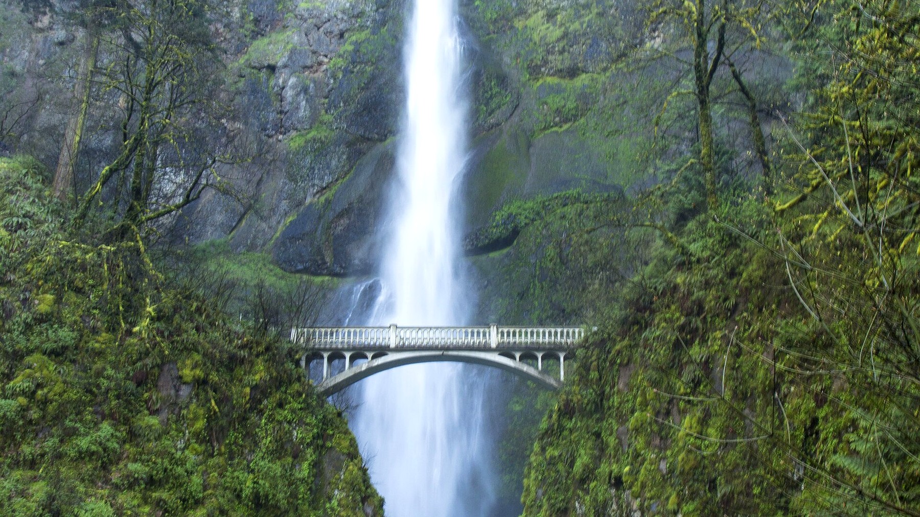
Multnomah Falls is visible from the plaza, but the trail continues beyond Benson Bridge to the top of the falls. Photo: icetsarina – CC BY-SA 4.0
TRAIL UPDATE – In 2026, private vehicles using I-84 Exit 31 need a timed-use permit from May 22 through September 7 between 9 a.m. and 6 p.m. The permit does not guarantee parking. Check the Forest Service page and Recreation.gov again before you leave.
Check before you go: Multnomah Falls Area – Recreation.gov: 2026 Multnomah Falls timed-use permit – Columbia River Gorge alerts
Three ways to visit Multnomah Falls
A visit to Multnomah Falls can be as short as a walk to the lower viewpoint or as long as the climb to the top. Many visitors stop at the plaza for the classic view, some continue to Benson Bridge, and hikers looking for a longer outing follow the switchbacks above the bridge. Knowing where you plan to turn around will also help you choose an arrival time and transportation plan.
|
Visit |
What to expect |
Best for |
Main concern |
|
Lower plaza |
A short walk from the main arrival area |
The landmark view with minimal hiking |
Crowds, parking, and facility hours |
|
Benson Bridge |
A brief uphill walk above the plaza |
A short walk with a closer view |
Wet pavement and busy passing areas |
|
Top of the falls |
A 2.4-mile round trip with repeated switchbacks |
Hikers prepared for a sustained climb |
Heat, fatigue, and a crowded descent |
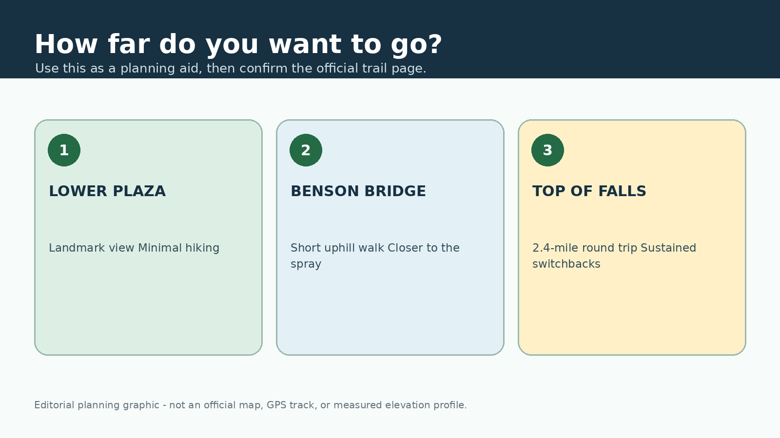
This original editorial graphic is meant only as a planning aid. It is not an official map, GPS track, or measured elevation profile.
What to expect on the hike to the top of Multnomah Falls
The lower plaza gives an immediate view of the two-tiered waterfall. From there, a paved path climbs to Benson Bridge, where mist and spray often keep the surface damp. Beyond the bridge, the route becomes a real hike: a steady series of switchbacks gains elevation above the lodge and highway.
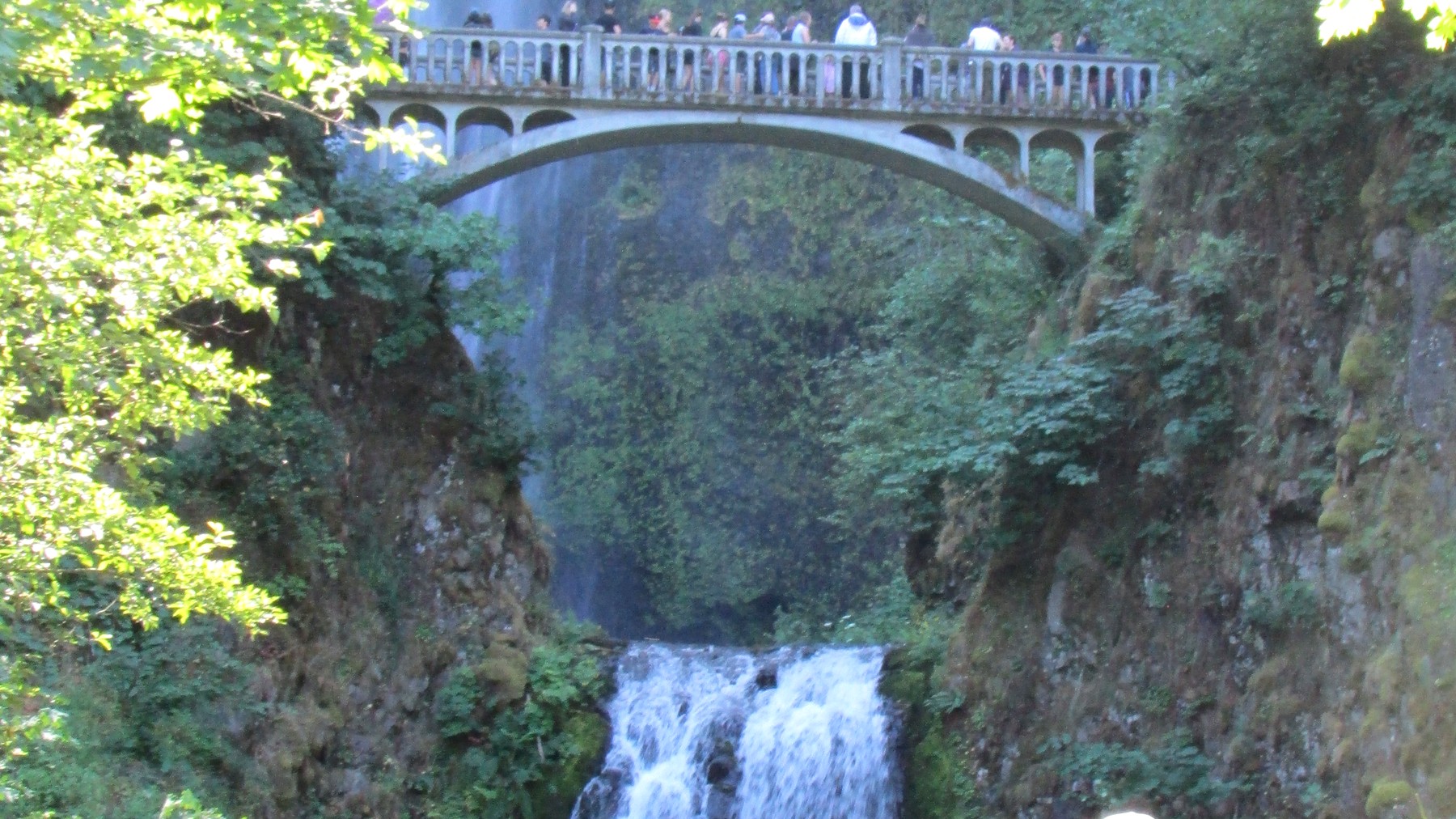
Benson Bridge is a popular turnaround, but reaching it still means climbing a busy, often damp path above the plaza. Photo: Chris Light – CC BY-SA 4.0
From the upper viewpoint, you look down over the brink of the falls instead of back toward the familiar view from below. Visitors who mainly want the classic photograph may be happier stopping at the plaza or Benson Bridge. The full climb makes more sense for hikers who want the exercise and have enough water, daylight, and energy left for the descent.
Parking and Timed-Use Permit Requirements for 2026
During the posted 2026 dates and hours, private vehicles using I-84 Exit 31 need a timed-use permit. The permit allows you to use that approach, but it does not reserve a parking space. The lot may still be full when you arrive, so allow extra time to follow staff directions or switch to another legal option.
Transit or a seasonal shuttle can spare you the parking search, but schedules and pickup locations change. Check the operator's current timetable before you leave. If you drive, never stop in a travel lane, wait on the interstate shoulder, or park outside a designated space.
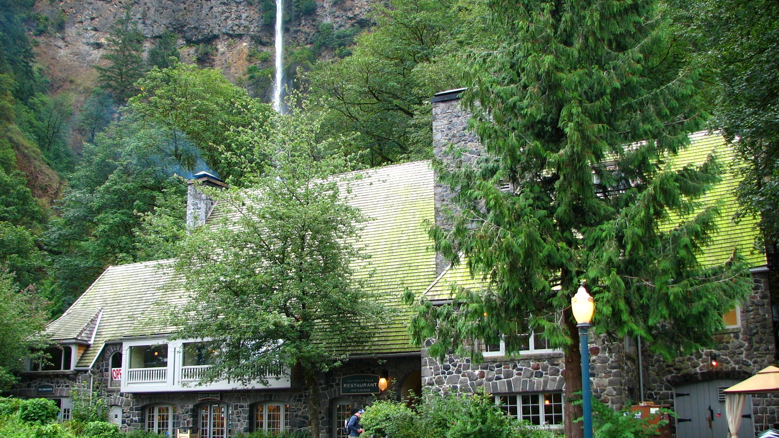
The lodge and lower plaza sit beside the main viewing area, where crowds build quickly on busy days. Photo: Ian Poellet – CC BY-SA 3.0
When to go and what to bring
Winter and spring usually bring stronger waterfall flow, along with shorter daylight, storm debris, and occasional ice on shaded pavement. Summer offers longer days but also the heaviest crowds and warmer switchbacks. Early morning and late afternoon are often quieter. Before settling on a time, check the current permit window, transit schedule, and available daylight.
For the climb, carry water, a light layer, rain protection, and shoes with dependable grip. Trekking poles can help some hikers on the descent, but they should not block the narrow path. Dogs must follow current leash rules, and owners should consider hot pavement, crowding, spray, and close passing before bringing a pet.
Backup plans when the lot is full
Have a backup in mind before entering the Waterfall Corridor. Wahclella Falls offers a short canyon hike, while Latourell Falls provides another waterfall option farther west. Both have their own parking, fee, and access rules, so check those details before changing plans.
Frequently asked questions
How long is the Multnomah Falls hike? The Forest Service lists the route to the top at 2.4 miles round trip. A visit to the plaza or Benson Bridge is shorter.
Does the timed-use permit include parking? No. Recreation.gov states that the permit does not guarantee a parking space.
Is Benson Bridge the top of the hike? No. Benson Bridge is an intermediate viewpoint. The trail continues through switchbacks to the top of the falls.
More hiking guides
Sources and update notes
This guide is based on the public-agency pages linked below. We last checked access rules, fees, permits, fire restrictions, and closures on August 26, 2026. Check the relevant pages again before your trip. Mileage may vary with reroutes, side trips, turnaround points, and GPS methods. This is an independently researched guide, not a report from a recent hike.