Best Hikes Near Hood River: Choose by Direction and Weather
Hood River works well as a base for hikes in four directions. The best choice depends on wind, heat, closures, parking and how much time and effort the group wants to commit.
Research-based editorial guide · Official access status checked August 24, 2026 · No claim of a personal hike or firsthand test
ALERT — Columbia River Gorge fire danger is high with current restrictions; Mount Hood has separate extreme fire danger and an active east-side closure. Check the governing agency for the exact route.
Why a compass works better than a top-ten list
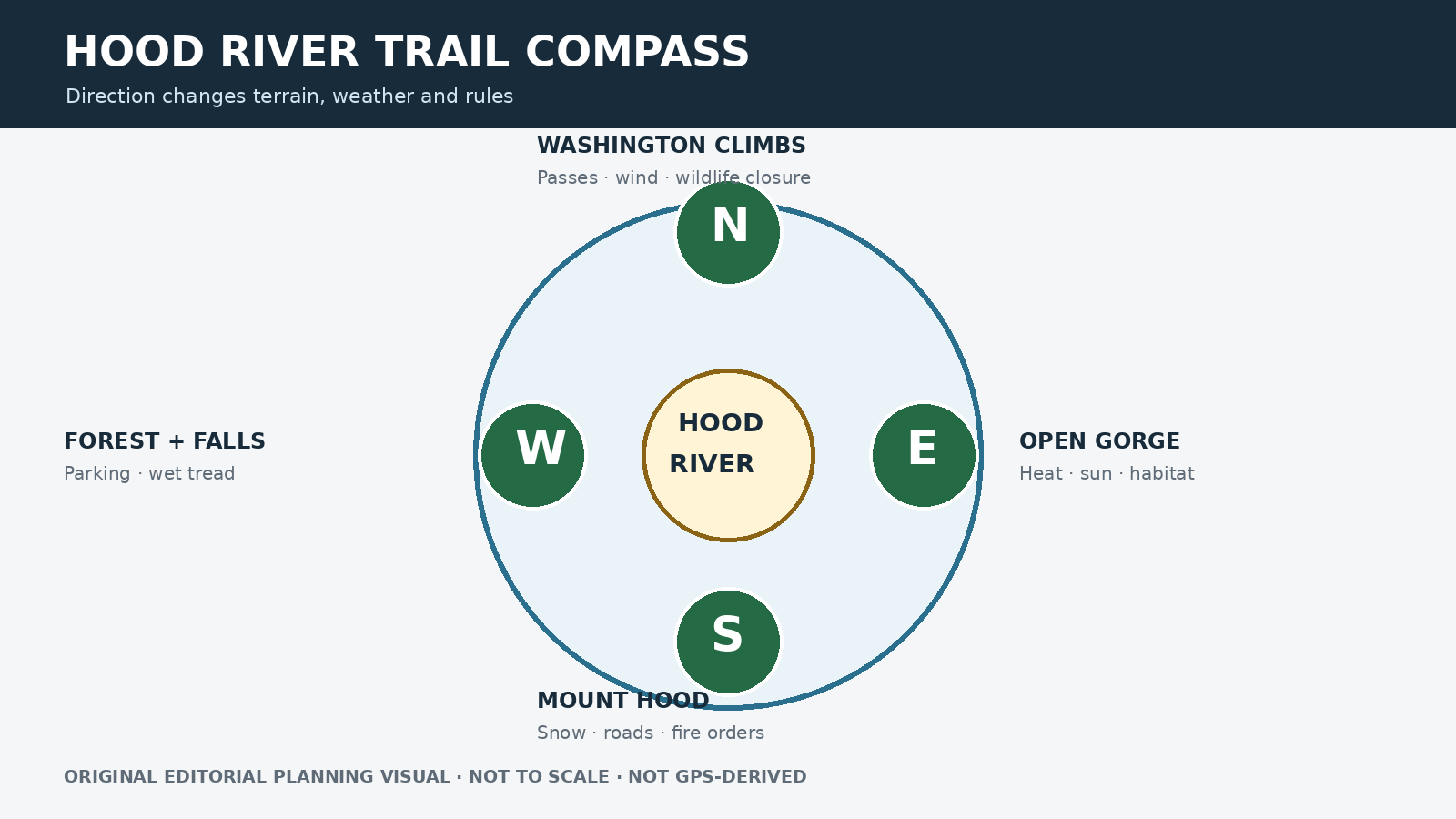
Hood River sits between the wetter forests of the western Gorge, exposed Washington slopes, drier terrain to the east and higher routes on Mount Hood. A list ranked only by stars hides the conditions that actually shape the day. Start with the corridor that fits the weather, access and terrain, then compare individual hikes.
A short drive from Hood River does not put every nearby hike under the same rules. Washington State Parks may require a Discover Pass, Forest Service trailheads may charge a recreation fee, Port of Cascade Locks parking may have its own fee, and wildlife closures can change the legal route. Check the exact destination rather than relying on a general Hood River search result.
Original editorial planning graphic · not to scale · not GPS-derived
A quick look in four directions
West: Forested Gorge and waterfall routes
North: Washington climbs and river viewpoints
East: Open terrain, sun, wind and seasonal wildflowers
South: Mount Hood routes subject to separate forest alerts
Best backup: switch corridors, not just trailheads
Checked: August 24, 2026
West: forests, waterfalls and limited parking
Dry Creek Falls follows a forested section of the Pacific Crest Trail near Cascade Locks, but its parking rules should not be confused with those at Northwest Forest Pass sites. Farther west, Latourell Falls offers a compact two-mile loop and a 2026 Oregon State Parks parking fee. Both can work well on cooler days when fire restrictions and trail access have been checked.
Choose a westbound backup before entering the busiest part of the Gorge. A second hike that depends on the same Historic Highway congestion is not much of a backup. Also note the impassable section of the Historic Columbia River Highway State Trail between Eagle Creek and Cascade Locks; do not suggest an unofficial way around it.
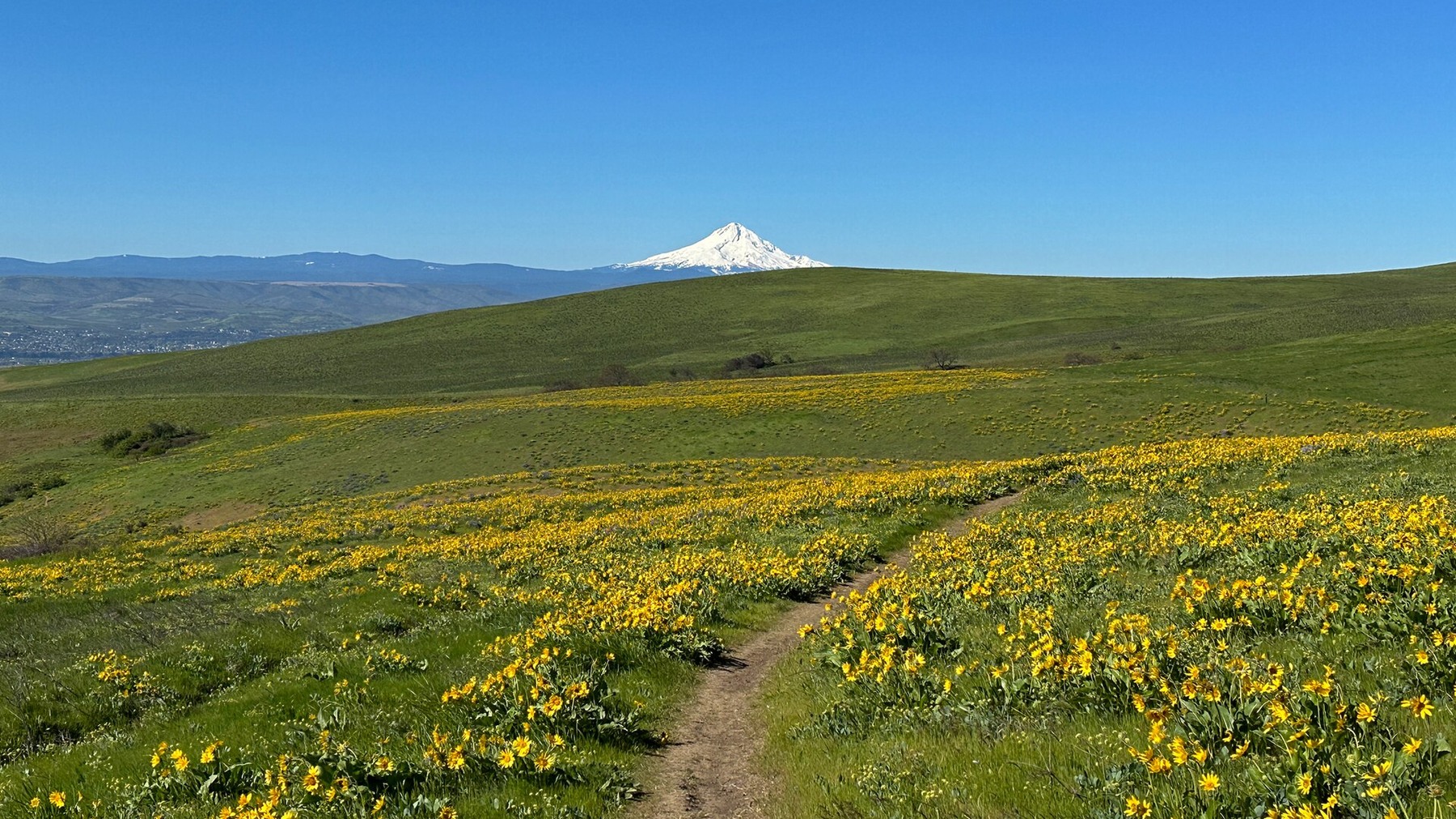
Columbia Hills shows the open, sunlit east-Gorge terrain available beyond Hood River; use the exact trail page for route-specific access. Photo: jhvanwa · CC0 · cropped and resized
North: Washington climbs and seasonal rules
Dog Mountain is the strenuous benchmark, with a steep profile, a year-round trailhead fee and a seasonal spring permit system. Hamilton Mountain offers several stopping points, from Rodney Falls to the summit or full loop, and uses the Washington Discover Pass system. Cape Horn changes most clearly with the season because its lower loop closes from February 1 through July 15 for peregrine nesting.
Wind and exposed slopes can make trail conditions very different from the forecast in Hood River. For Washington routes, check the land manager, parking pass, wildlife closure and fire restrictions together. The route guides explain the details instead of repeating one generic Gorge warning.
East: exposed terrain and sensitive habitat
Coyote Wall and Catherine Creek offer broad views and spring wildflowers, but their open terrain also brings sun, heat, wind, ticks, smoke and sensitive habitat. At Coyote Wall, official rules include seasonal leash requirements and designated parking, and the area has no dependable water or restroom. Enjoy the flowers from established trails and respect restoration closures.
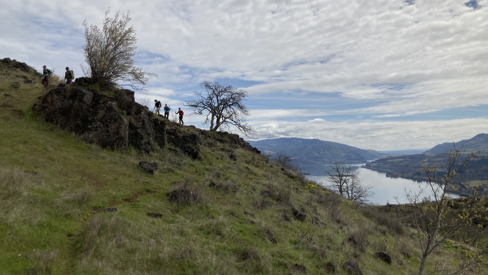
Open east-Gorge terrain brings sun, wind and broad river views. Photo: Mattsjc · CC BY 4.0 · cropped and resized
South: Mount Hood has its own conditions
Mount Hood is not automatically a good rainy-day backup. Snow, road gates, fire closures and smoke can create an entirely different set of conditions. Mirror Lake, Trillium Lake, Tom Dick and Harry Mountain and Ramona Falls each suit a different kind of outing, while Tamanawas Falls remains closed under the Grasshopper Fire order. Check Mount Hood alerts before committing to any southbound route.
Build a Hood River day around two corridors
Choose a primary corridor, a backup in a different corridor and a turnaround time. Save the official route, parking and alert pages for offline use. If smoke or heat worsens, do not keep driving deeper into the same conditions simply because the first trailhead is full. A shorter legal walk, time in town or a no-hike day may be the better choice.
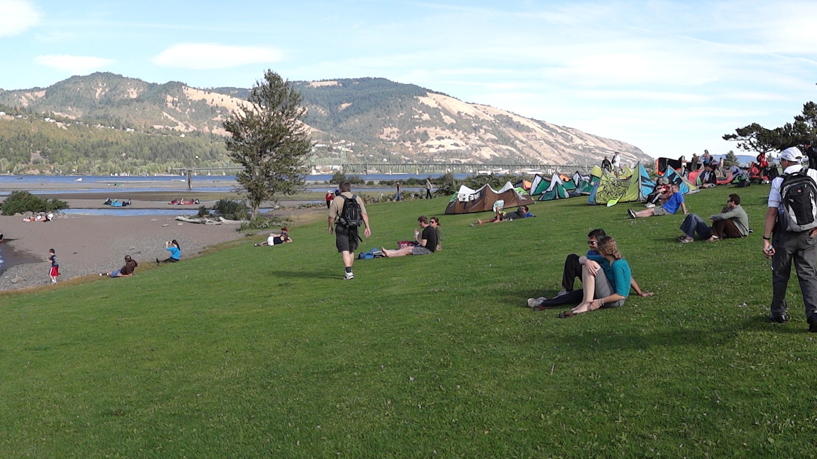
Hood River is a base for several different hiking corridors. Photo: Adam Jones, Ph.D. · CC BY-SA 3.0 · cropped and resized
Use the route guides to make the final choice
Continue to the dedicated guides for Hamilton Mountain, Cape Horn, Dry Creek Falls and Larch Mountain; Dog Mountain also has its own route page. For southbound options, use the Mount Hood guide. If waterfalls matter more than proximity to Hood River, use the Columbia River Gorge waterfall guide.
Related hiking guides
Sources and last checked
Official agency pages are the authority for closures, access, fees and rules. Supplemental organizations are used only for clearly labeled planning estimates. This guide is based on published sources and does not claim a firsthand hike. Recheck all time-sensitive details on the publication date and again before travel.
Last checked: August 24, 2026. Review the page whenever an alert, fire restriction, road or gate status, fee, permit, seasonal rule, trail repair or official map changes.
Photo and graphic credits
Columbia Hills in WA – 53672345846.jpg — jhvanwa, CC0. · Hikers from the Mazamas on Coyote Wall with Columbia River in background.jpg — Mattsjc, CC BY 4.0. · Panorama of Columbia River Shore – Hood River – Oregon – USA.jpg — Adam Jones, Ph.D., CC BY-SA 3.0.
Functional visual: original editorial graphic created for this article; not a trail map, GPS track or measured elevation profile.