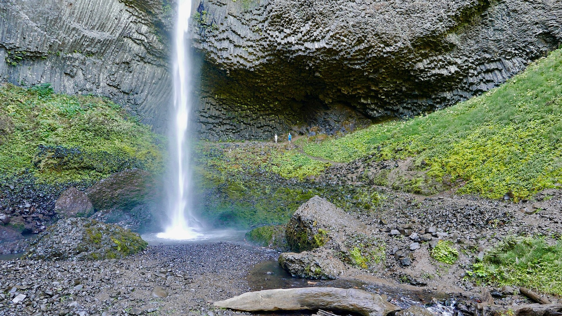
Latourell Falls Trail: 2-Mile Loop, Parking Fee and Route Stages
A compact loop with two waterfalls, forested trail and one important 2026 update: the trailhead now charges a state park parking fee.
Research-based editorial guide · Official access status checked August 24, 2026 · No claim of a personal hike or firsthand test
OPEN SUBJECT TO CURRENT PARK STATUS — Fire restrictions are in effect. Confirm Guy W. Talbot State Park alerts and the parking rule before travel.
Quick answer: Choose the lower viewpoint for a short landmark stop, or follow the signed two-mile loop to see both waterfalls and complete the forest climb.
Lower falls viewpoint or full loop?
The lower waterfall is the immediate landmark; the loop is the full hike. Visitors who only want the classic view beside the basalt columns do not need to commit to two miles. The full route climbs through dense forest to Upper Latourell Falls, crosses four wooden bridges and includes rocky sections. Oregon State Parks rates it moderately difficult, which is more useful than calling it easy based on mileage alone.
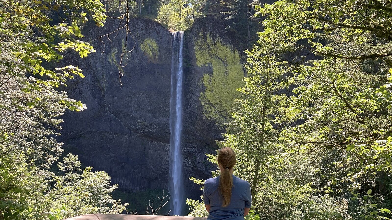
A sunlit view of Latourell Falls shows the basalt setting that makes the lower landmark worthwhile even without completing the loop. Photo: sightalks · CC BY-SA 4.0 · cropped and resized
What to expect on the loop
From the parking area, follow signs toward the lower-falls viewpoint and the loop. The trail then climbs away from the highway into the forest. Wet rock, roots and bridge approaches can slow hikers even over a short distance. Upper Latourell Falls is the second major landmark before the route descends toward the Historic Columbia River Highway.
The highway crossing is an important route detail, not just a break in the scenery. Use the signed crossing and do not improvise a roadside shortcut. If fading daylight, poor footwear or storm debris makes the descent uncertain, stay on the maintained route and turn around rather than trying to exit along the road shoulder.
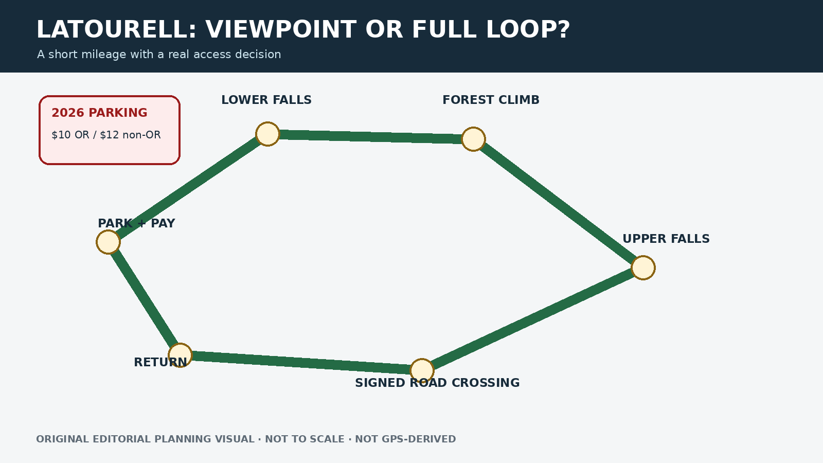
Original editorial planning graphic · not to scale · not GPS-derived
What changed with parking in 2026
Oregon State Parks added Latourell Falls Trailhead to its parking-fee program on March 30, 2026. The published daily fee is $10 for Oregon residents and $12 for nonresidents. Visitors arriving on foot, by bicycle, by transit or by drop-off do not pay the vehicle fee. A current Oregon State Parks campground hangtag is also accepted under the published guidance.
The parking fee is separate from trail status. Payment does not reserve a space or make roadside parking legal. If the lot is full, leave for a legal backup. Recheck the park page because fees, payment methods and facility operations can change.
The trailhead now uses Oregon State Parks’ 2026 day-use parking fee. Photo: Angelatakesapic · CC BY 4.0 · cropped and resized
Route and parking facts
|
Field |
Current planning note |
|
Official route |
Signed 2-mile loop |
|
Difficulty |
Moderately difficult; rocky areas and bridges |
|
Highlights |
Lower Latourell Falls and Upper Latourell Falls |
|
Parking fee in 2026 |
$10 Oregon resident / $12 non-resident vehicle day-use fee |
|
Fee exceptions |
Walk, bike, transit, drop-off or valid current campground hangtag |
|
Checked |
August 24, 2026 |
Why two miles does not necessarily mean easy
Waterfall spray, rain, leaves and ice can make rocky sections slippery, while dense vegetation may hide uneven footing. The route is best suited to hikers comfortable with a modest climb and a controlled descent on variable surfaces. It is not a good match for anyone who needs a consistently paved, protected path. Fire restrictions still apply even on a shaded waterfall hike.
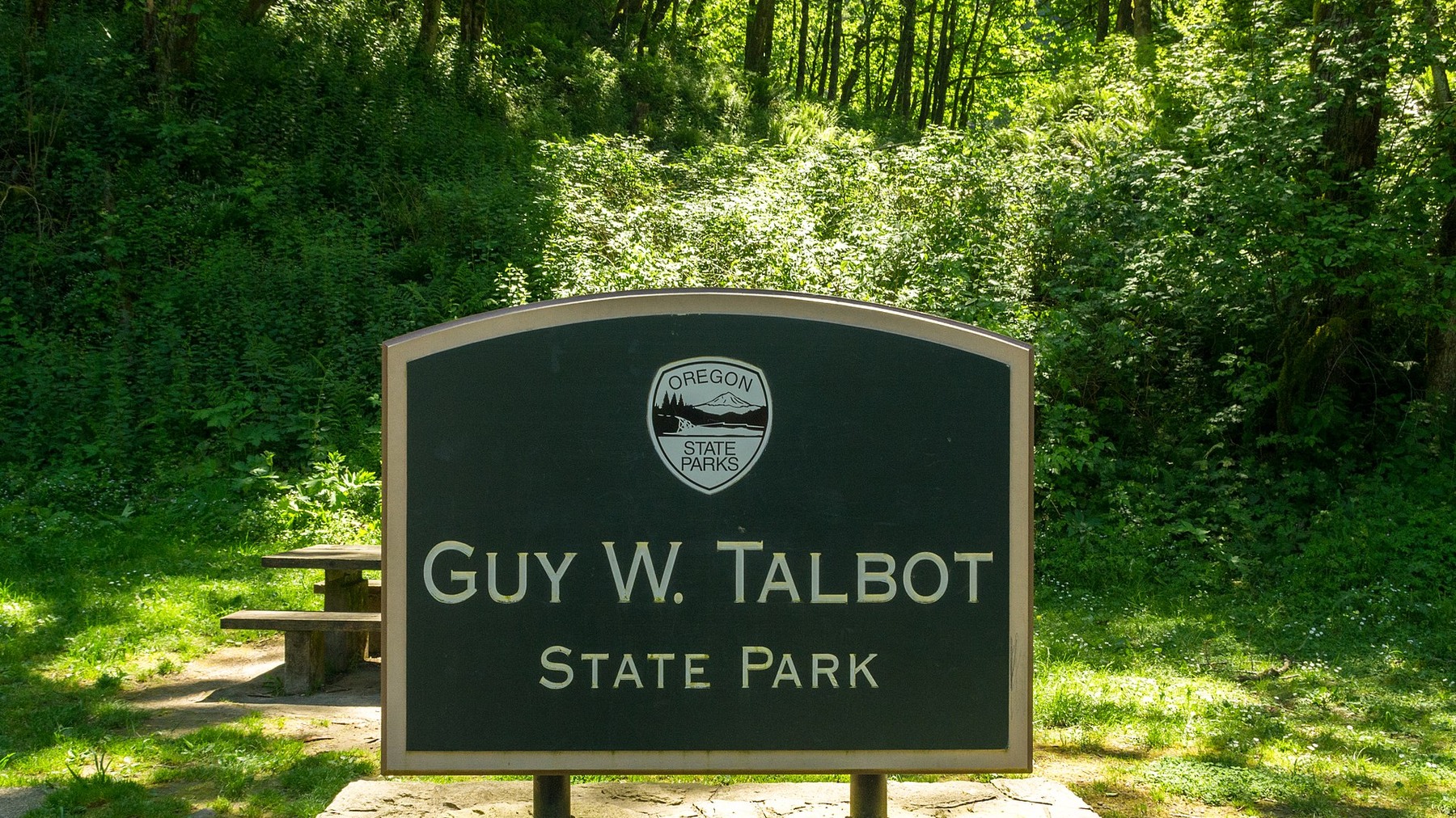
Guy W. Talbot State Park signage helps confirm the correct recreation area before hikers commit to the loop. Photo: David Prasad from Welches, OR., United States · CC BY-SA 2.0 · cropped and resized
When another waterfall plan makes more sense
For a brief landmark visit, stop at the lower viewpoint if access is open. For another compact Gorge waterfall hike, compare Wahclella Falls, which has a small parking lot and wet canyon surfaces. For a longer waterfall day, use the waterfall collection page, but leave Tamanawas Falls out of current recommendations while its closure remains active.
Timing your arrival and turnaround
Allow more time than the two-mile distance suggests. Parking, the lower viewpoint, bridge bottlenecks and the highway crossing can all add delays. Before leaving the car, set a latest arrival time for Upper Latourell Falls and another for the highway crossing. On crowded days, wait for a wider section before passing on narrow or wet trail. Save the official park page offline, and make sure every driver knows that the day-use fee is not a reservation.
After heavy rain or wind, the lower viewpoint alone may be the better plan. Watch for official closure signs and obvious debris instead of assuming the loop is clear because the waterfall is visible. Keep children close around wet rock, bridge approaches and the road. If dogs are allowed under current park rules, keep them controlled without blocking the trail. Confirm restrooms and drinking water on the live park page before leaving.
Related hiking guides
Sources and last checked
Official agency pages are the authority for closures, access, fees and rules. Supplemental organizations are used only for clearly labeled planning estimates. This guide is based on published sources and does not claim a firsthand hike. Recheck all time-sensitive details on the publication date and again before travel.
Last checked: August 24, 2026. Review the page whenever an alert, fire restriction, road or gate status, fee, permit, seasonal rule, trail repair or official map changes.
Photo and graphic credits
Latourell Falls in Oregon.jpg — sightalks, CC BY-SA 4.0. · Latourell Falls Trailhead July 2022.jpg — Angelatakesapic, CC BY 4.0. · Guy W. Talbot State Park.jpg — David Prasad from Welches, OR., United States, CC BY-SA 2.0.
Functional visual: original editorial graphic created for this article; not a trail map, GPS track or measured elevation profile.