Trail guides · Pacific Northwest
Columbia River Gorge
Find a route that fits the day, from quick forest walks to waterfall hikes and longer ridge outings. Start with the landscape, time, and conditions that matter most.
-
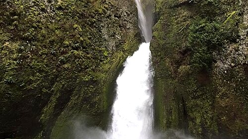
Wahclella Falls Trail: A Short Hike Through Tanner Creek Canyon
Wahclella Falls Trail: A Short Hike Through Tanner Creek Canyon A 2.4-mile waterfall hike with a small parking lot, slick canyon surfaces, and added post-fire hazards during heavy rain. We last checked the official sources on August 26, 2026. This guide is based on agency information and is not a firsthand trail report. Wahclella Falls…
-
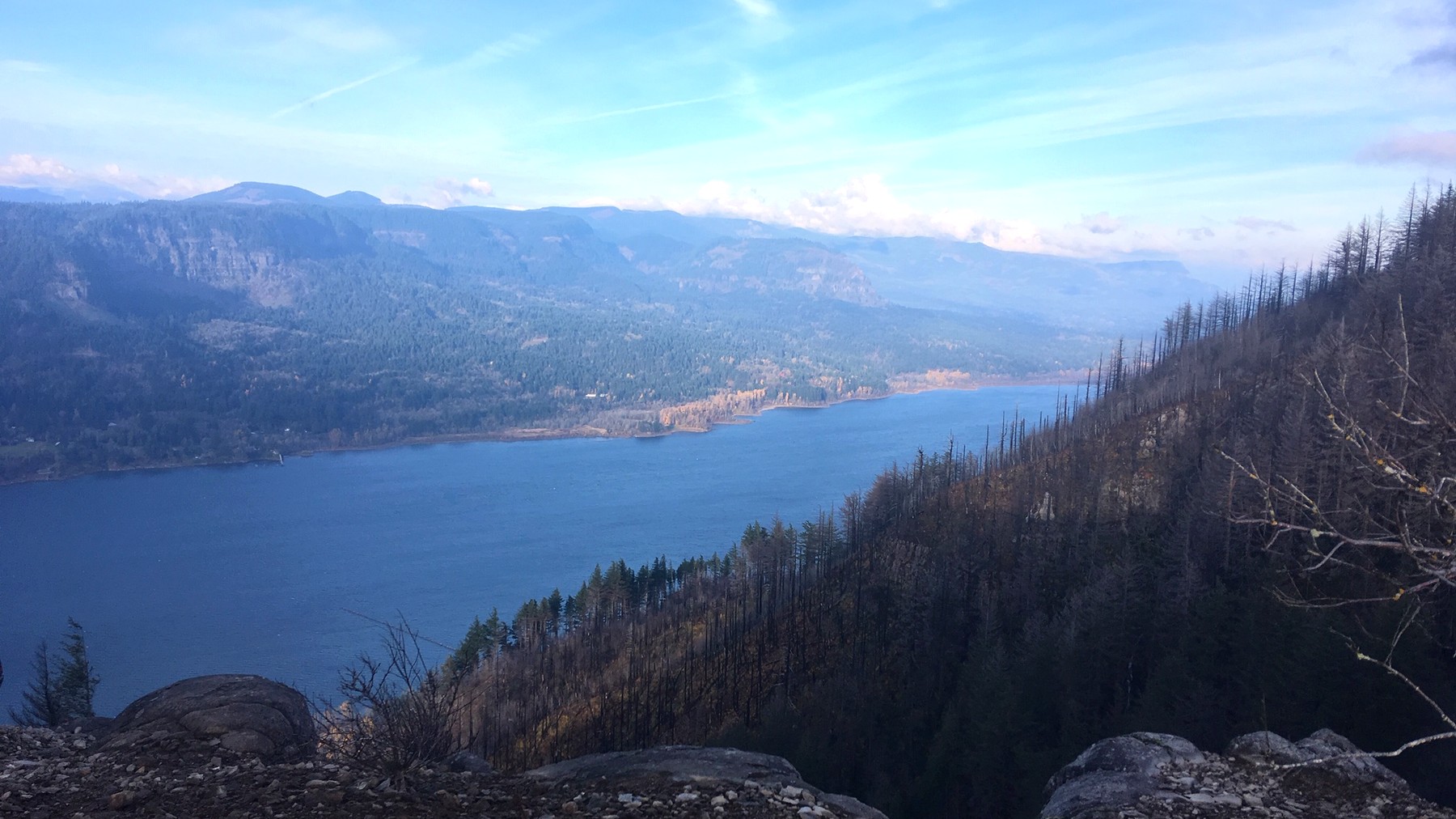
Angel’s Rest Trail: Difficulty, Parking, and Gorge Views
Angel's Rest Trail: Difficulty, Parking, and Gorge Views What the climb is like, when conditions become more challenging, and who may be happier on another Gorge trail. We last checked the official sources on August 26, 2026. This guide is based on agency information and is not a firsthand trail report. Angel's Rest ends at…
-
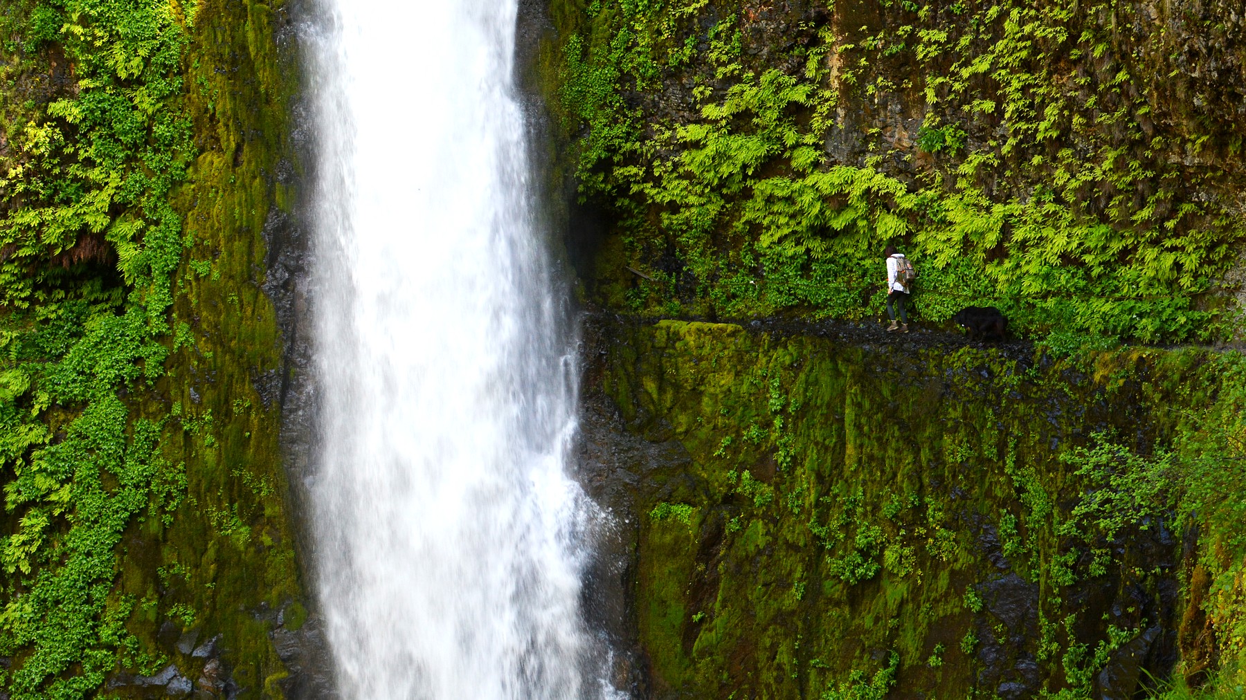
Eagle Creek Trail: Exposure, Waterfalls, and Turnaround Options
Eagle Creek Trail: Exposure, Waterfalls, and Turnaround Options What to expect on the narrow cliffside sections, where to turn around for waterfalls, and how to plan for parking and current closures. We last checked the official sources on August 26, 2026. This guide is based on agency information and is not a firsthand trail report.…
-
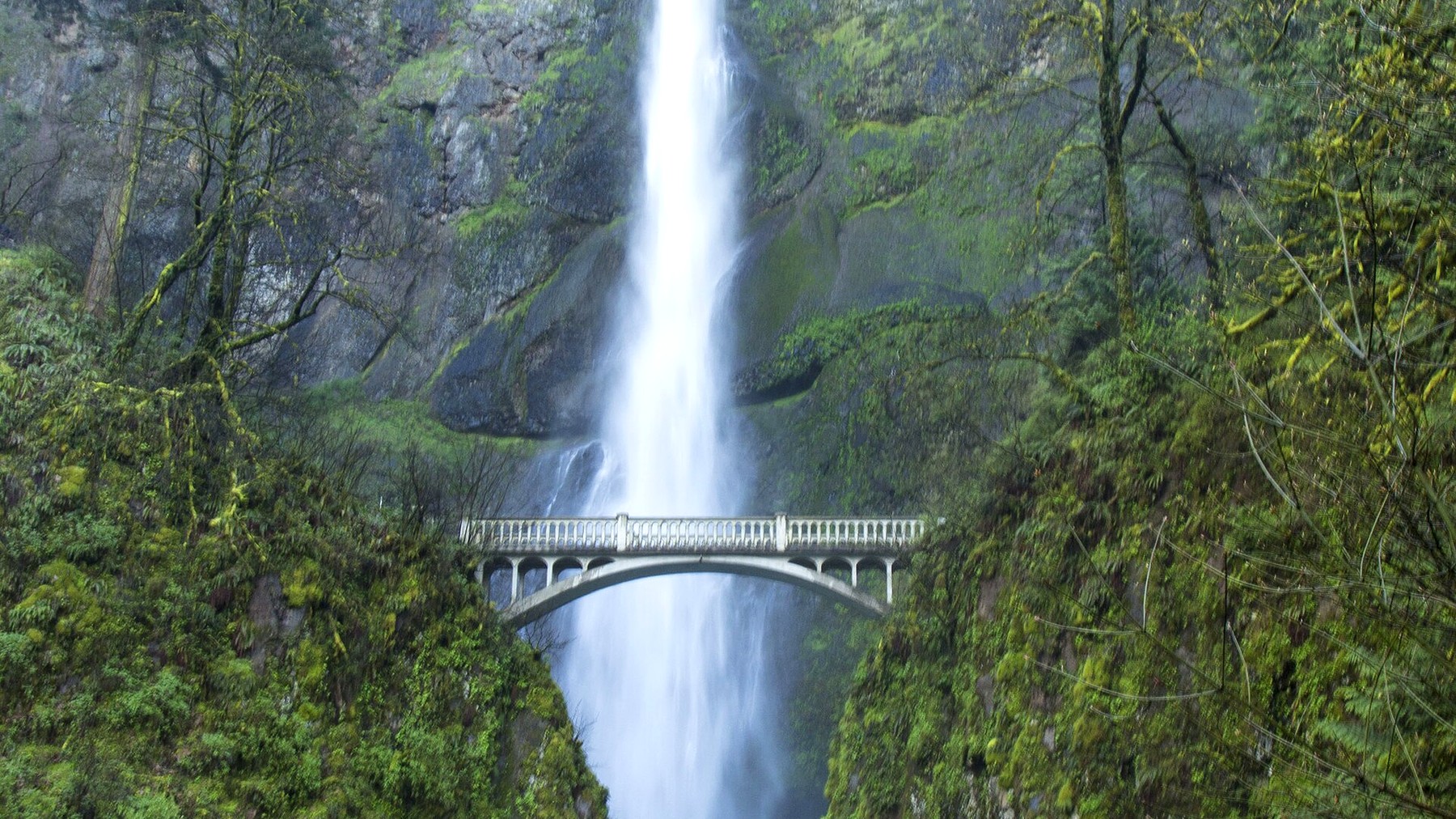
Multnomah Falls Hike: Viewpoints, Trail to the Top, and 2026 Access
Multnomah Falls Hike: Viewpoints, Trail to the Top, and 2026 Access Decide how far you want to walk—from the lower plaza to the top of the falls—then sort out parking or transit. We last checked the official sources on August 26, 2026. This guide is based on agency information and is not a firsthand trail…
-
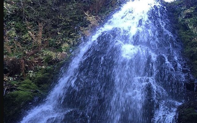
Fairy Falls from Wahkeena: A Short, Steep Waterfall Hike in the Gorge
Fairy Falls from Wahkeena: A Short, Steep Waterfall Hike in the Gorge Fairy Falls sits 1.1 miles up Wahkeena Trail #420. Here is what to expect on the climb, where to park, and why the falls make a practical turnaround when longer trail connections are uncertain. Research-based guide · Official information checked August 27, 2026…
-
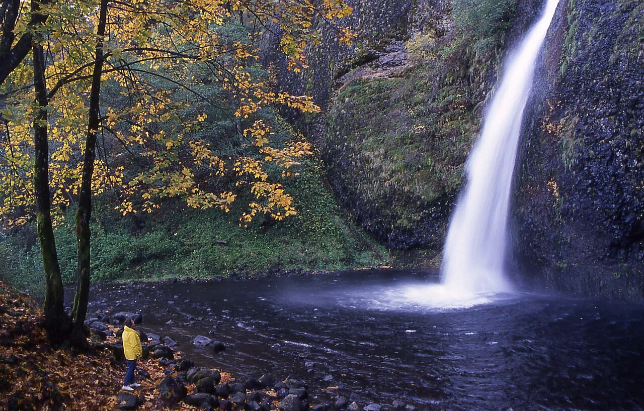
Horsetail Falls: Roadside View, Ponytail Falls Hike, and Current Trail Access
Horsetail Falls: Roadside View, Ponytail Falls Hike, and Current Trail Access Horsetail Falls is visible from the Historic Columbia River Highway, while Ponytail Falls requires a short, steep hike. Longer loops depend on current trail conditions and should be checked before you go. Research-based guide · Official information checked August 27, 2026 · Based on…